NO RESERVE
"[Lot of 4 - Plans of the City of Detroit]",
Subject: Detroit, Michigan
Period: 1860 (circa)
Publication:
Color: Black & White
This lot contains four maps of Detroit from the American State Papers of 1860. The maps were not published with the original government report in 1830, and are not listed in Claussen & Friis. All were printed by Bowen & Co.’s Lith., Philadelphia. The maps include:
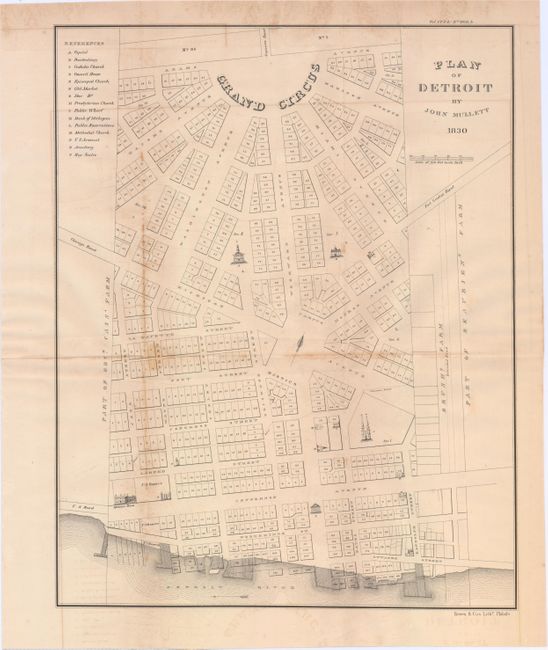
A. Plan of Detroit by John Mullett 1830 (17.5 x 13.8"). The detailed plan of the city includes a list to 15 important buildings and institutions keyed to the plan.
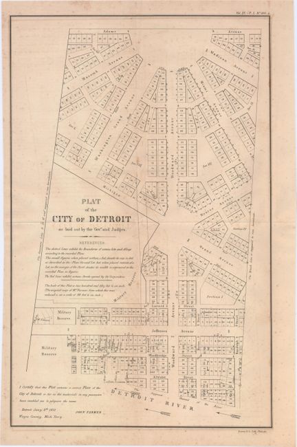
B. Plat of The City of Detroit as Laid Out by The Govr. and Judges (18.5 x 11.4"). Similar in size and style to Mullett's map. Prepared by John Farmer January 8, 1831 from Wayne County Michigan Territory.
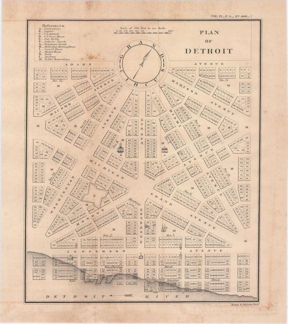
C. Plan Of Detroit (9.8 x 8.2"). Good detail of the city from the Grand Circle to the Detroit River.
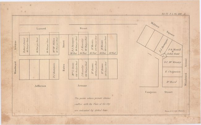
D. The Points Where Private Claims Conflict with the Plan of The City are Indicated by Dotted Lines (6.5 x 10.8"). The plan delineates individual plots with the owner's name. Concerned with property between Larned Street and Jefferson Avenue, and between Congress Street and Woodward Avenue.
References:
Condition: B
Issued folding with some faint offsetting, scattered foxing and minor stains.