Catalog Archive
Auction 150, Lot 89

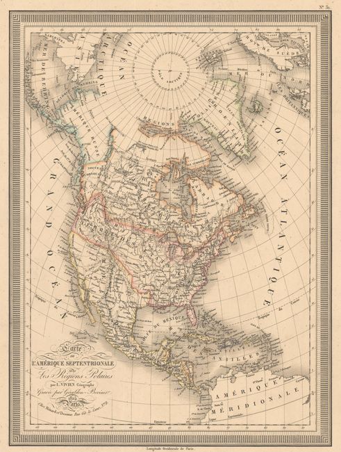
"Carte de l'Amerique Septentrionale avec les Regions Polaires", Vivien de Saint Martin, Louis
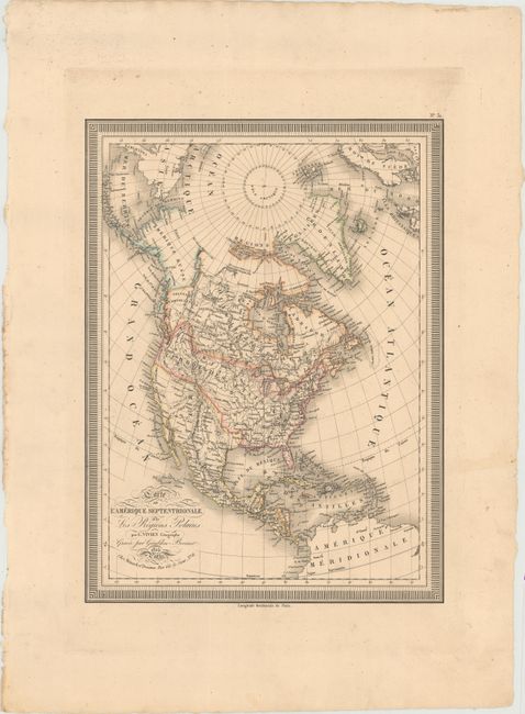
Subject: North America

Period: 1825 (dated)

Publication: Atlas Universel

Color: Hand Color

Size:
12.1 x 16.1 inches
30.7 x 40.9 cm
Download High Resolution Image
(or just click on image to launch the Zoom viewer)

Excellent French map of North America and the West Indies. Alaska is Amerique Russe and borders Nouveau Cornouailles (New Cornwall). The United States is shown with its claim in present-day British Columbia, here named Columbia. Mexico still encompasses Texas and the Southwest. The West also features some fictitious rivers. The most recent discoveries are shown in the polar region. A bold keyboard-style border encloses the map. Engraved by Giraldon-Bovinet.

References:

Condition: A

A dark impression on a sturdy sheet with wide margins and some minor soiling.

Estimate: $150 - $180

Unsold

Closed on 9/17/2014

Archived