Antique Maps, Charts, Atlases and Globes for Sale at Auction

Old World Auctions - Antique Map Specialists


Antique Map Auction Sale No. 136 - closed 6/1/2011

Featuring 845 lots of rare antique maps, charts, pocket maps, globes and atlases
Prices Realized       Table of Contents       Search Auction


Lot #767: "Plan de la Baye Dusky (Obscure) a la Nouve. Zelande" Capt. James Cook

Antique map chart Plan de la Baye Dusky Obscure a la Nouve Zelande
Click to see full size image(s)

Estimate:
$200.00 - $250.00
Sold for: $150.00

Lot 767
By: Capt. James Cook
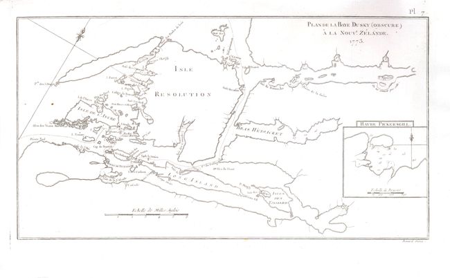
Subject: New Zealand
Date: 1773

Publication:

Condition: A
See Condition Guidelines

Color: uncolored

Size: 14.8 x 8 inches
37.6 x 20.4 cm

A remarkable and early chart of the area centered on Resolution Island in today's Fiordland National Park on the southern island. The complex geography of the fiords is illustrated, naming Long Island, Point Five Fingers, Break-Sea Island, Gilbert Isles, Wetjacket Arm, Coopers Island, and much more. Inset details Pickersgill Harbour with a fleur-de-lis and soundings in fathoms. Engraved by Benard.

Excellent impression on a sound sheet. Two tiny spots in left side of image, else fine.

Search this archived auction | Antique Map Price Guide