Catalog Archive
Auction 136, Lot 371
"Hispaniae Novae Sive Magnae, Recens et Vera Descriptio", Bry, Theodore de
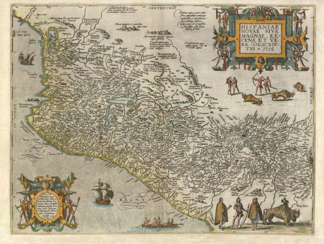
Subject: Mexico
Period: 1595 (dated)
Publication: Grands Voyages Part V
Color: Hand Color
Size:
17.3 x 13 inches
43.9 x 33 cm
Download High Resolution Image
(or just click on image to launch the Zoom viewer)
(or just click on image to launch the Zoom viewer)