Catalog Archive
Auction 136, Lot 121
"A Chart of the River St. Laurence, as High as Quebec", Anon.
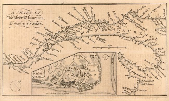
Subject: Canada
Period: 1759 (published)
Publication: Grand Magazine of Magazines
Color: Black & White
Size:
7.5 x 4.5 inches
19.1 x 11.4 cm
Download High Resolution Image
(or just click on image to launch the Zoom viewer)
(or just click on image to launch the Zoom viewer)