Subject: Atlases
Period: 1838 (published)
Publication:
Color: Hand Color
Size:
14 x 17 inches
35.6 x 43.2 cm
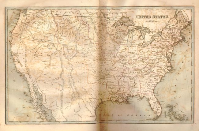
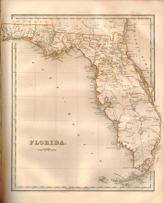
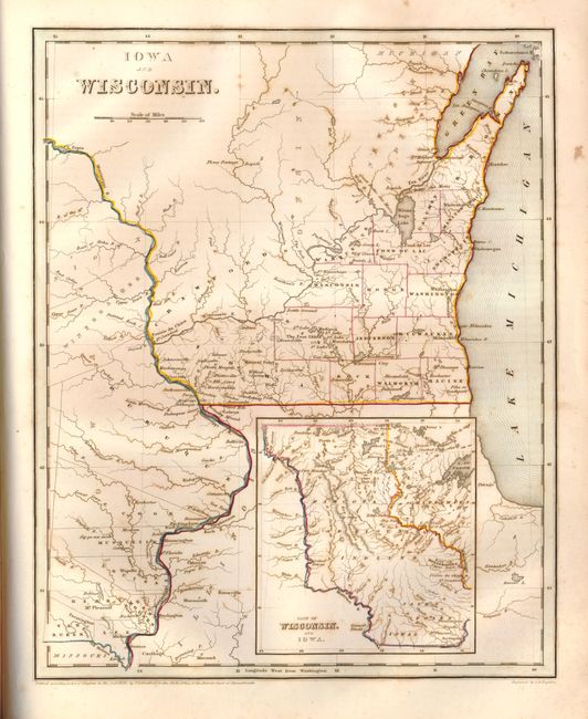
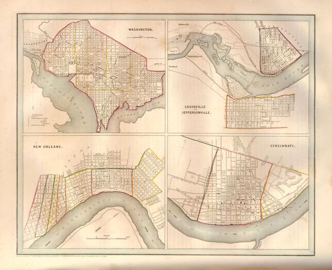
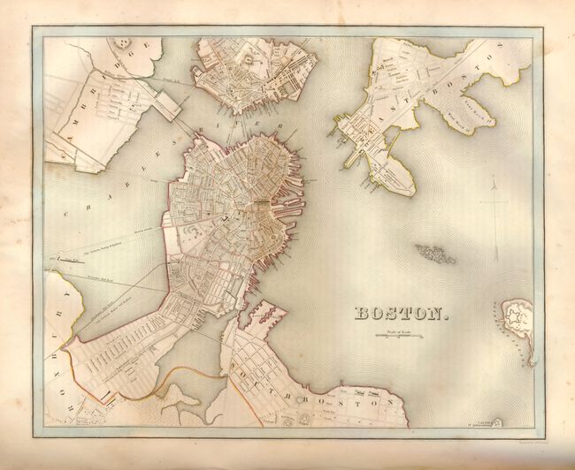
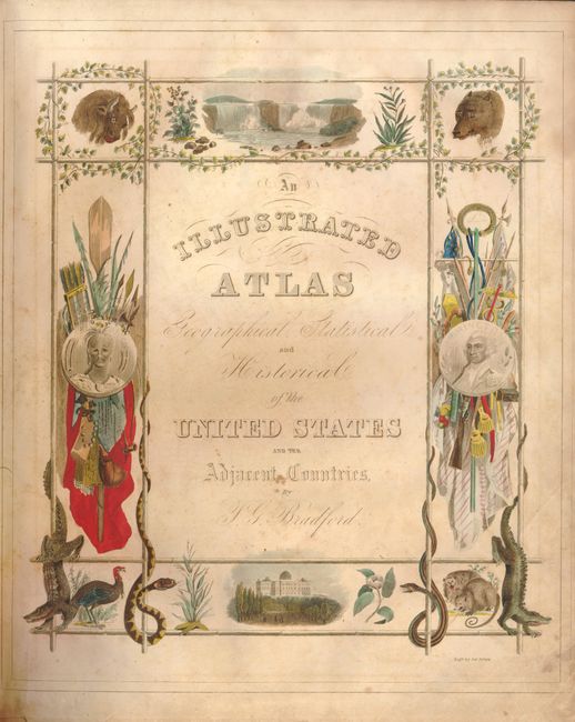
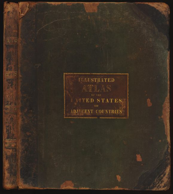
In 1838 Bradford published this larger and much finer atlas as compared to his earlier Comprehensive Atlas that Ristow called undistingushed. The Illustrated Atlas was printed in two sizes with the same maps, the maps in the larger version have wider margins. This example, printed by Weeks, Jordan, and Company from Boston, is the smaller of the issues, the larger being large folio (19-1/4 inch tall). This small folio (14" x 17" tall) edition contains frontis, two title pages, 170 pp. 39 pages of maps including one double-page (US) and eight city plans on five sheets: the New York City plan is the frontis. All maps in original hand coloring. This complete atlas includes maps of the United States, 28 separate maps of the United States, maps of North America, the Republic of Texas, the West Indies, Lower Canada, Upper Canada, and city plans of Washington, New Orleans, Louisville & Jeffersonville, Cincinnati (four plans on one sheet), Boston, New York, Philadelphia, and Baltimore. The excellent map of Texas is described below. In this edition the map of Wisconsin is "Iowa & Wisconsin" with Iowa hastily added above. With extensive text descriptions accompanying each map. Many of the maps are by G.W. Boynton, other by S. Stiles, Sherman & Smith. Stereotyped and printed by Fulsom, Wells & Thurston of Cambridge, Mass., "Printers to the University." Green cloth on boards with quarter leather. Title on front of cover on red gilt stamped leather label.
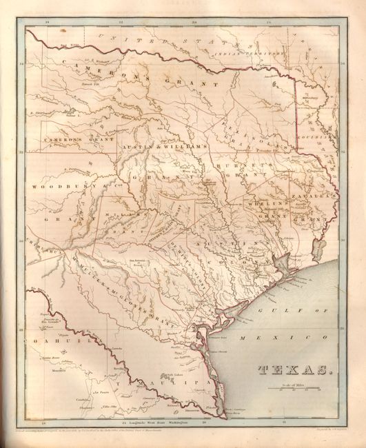
The map of the Republic of Texas (Ref: Day #32; Phillips (M) p.842; cf Martin & Martin #31) is an early edition that was patterned on Stephen Austin's seminal map of 1830. The map shows the empresario grants, lakes, rivers, creeks, towns and Indian villages. The Old Mexican Garrison is located on the Brazos River north of Deer Creek. The border with Mexico is unclear as Mexico appears to go to the Rio de las Nueces but the colorist has correctly placed it at the Rio Grande. The northern boundary is along the Red River. Locates and names San Antonio de Bexar, San Felipe de Austin, Sabine, St. Augustine, Nacogdoches, Zavala, Tivis, Houston, Montezuma, Waco Village, Tenoxititlan, and more. There are approximately 17 grants named, including Stephen F. Austin, Woodbury & Cos, Cameron's, (two separate parts), Zavalla's and Whelin's. The large region around Austin is called Austin's Colony. Engraved by G.W. Boynton.
References: Phillips (A) #1381 & 11028; Ristow pp 270-271.
Condition: B
The maps vary in condition with a little more offsetting or toning closer to the ends: generally B+ but a few with heavier offsetting reducing them to B, and a few as good as A. South Carolina with small printer's ink smudge near top. The Plan of New York at front is stained and is missing significant surface at both lower corners. Text pages are similar with varying condition from B to A. First free end paper missing. Binding with significant wear and staining with some surface missing from abrasion, front cover starting with cracks along spine.