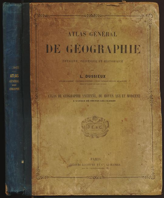
Subject: Atlases
Period: 1860 (circa)
Publication:
Color:
Size:
10 x 13.5 inches
25.4 x 34.3 cm
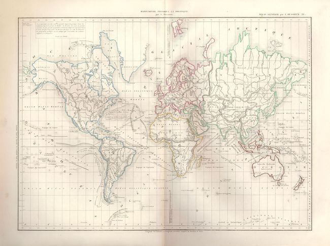
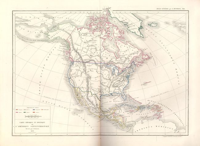
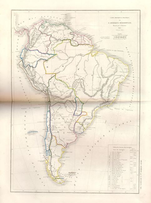
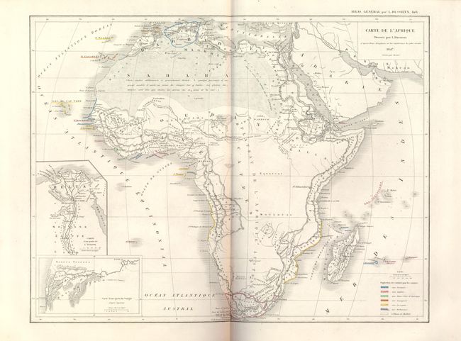
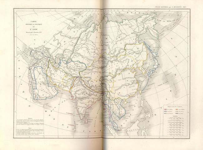
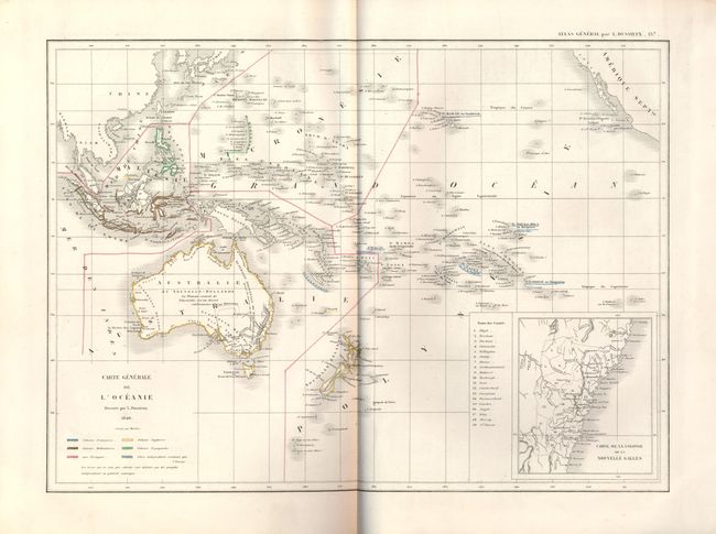
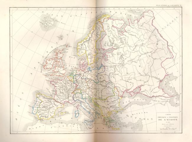
This complete French atlas contains 59 maps, 41 double page and 18 single page. The celestial plates and a few others are uncolored, but the majority are in original outline color. The maps are dated 1846 to 1860. The map of North America is dated 1856 but clearly shows pre-Fremont mapping in the west. The entire southwest and Texas is a region labeled as "Forests." Quarto, hard boards with full paper labels and blue cloth spine, two title pages, 59 maps. A nice atlas with great maps that is near fine less the cover wear.
References:
Condition: A
All maps are fine except the historical map of France which is unaccountably toned. The binding is worn and soiled with corners bumped and some paper lifting at edges. Back cover label also has two 1/2" areas of loss. Back cover starting, first free end paper creased and toned.