Catalog Archive
Auction 133, Lot 588

"Arabia, Egypt, Abyssinia, Red Sea &c.", Thomson, John
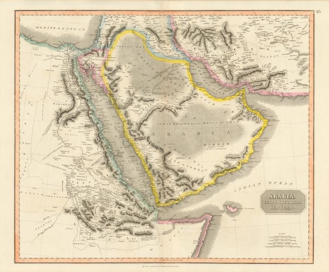
Subject: Arabia

Period: 1814-29 (published)

Publication: New General Atlas

Color: Hand Color

Size:
23.4 x 19.7 inches
59.4 x 50 cm
Download High Resolution Image
(or just click on image to launch the Zoom viewer)

This beautifully engraved and detailed map is focused on the Arabian Peninsula, the Horn of Africa (noted as myrrh and incense country), the Red Sea and the Persian Gulf. The map names routes across the Arabian Desert where water is available, and caravan routes across Africa to Mecca and Cairo. A handsome chart with full ruling in the sea along the coasts, fine stipple work to suggest deserts and dark hachure to show mountains. Blank verso.

References:

Condition: A+

A very beautiful, fine example

Estimate: $200 - $300

Sold for: $425

Closed on 9/1/2010

Archived