Catalog Archive
Auction 133, Lot 574

"Carte de la Terre Sainte", Covens & Mortier
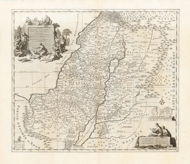
Subject: Holy Land

Period: 1725 (circa)

Publication: Atlas Antiquus

Color: Black & White

Size:
18.3 x 15.6 inches
46.5 x 39.6 cm
Download High Resolution Image
(or just click on image to launch the Zoom viewer)

Decorative and detailed map of the region covering present-day Israel and Jordan. The map shows the Holy Land divided among the Twelve Tribes, with the travels of Jesus Christ indicated by lightly dotted lines. The pictorial title cartouche includes a scene of Jesus healing the sick and the distance scale is surmounted by two cartographers. Just above the distance cartouche is a rendering of both sides of a shekel coin.

References: Laor #222.

Condition: A+

Beautiful impression on bright paper with very wide margins. The apparent centerfold toning is show through from the backstrap.

Estimate: $180 - $220

Sold for: $140

Closed on 9/1/2010

Archived