Catalog Archive
Auction 133, Lot 480
"Chorographia Territorii Naumburgo-Citiensis…", Schreiber, Johann Georg
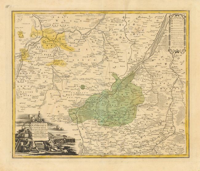
Subject: Germany
Period: 1732 (dated)
Publication:
Color: Hand Color
Size:
21.5 x 17.8 inches
54.6 x 45.2 cm
Download High Resolution Image
(or just click on image to launch the Zoom viewer)
(or just click on image to launch the Zoom viewer)