Subject: World
Period: 1700 (published)
Publication: Algemeene Weereldbeschryving
Color: Hand Color
Size:
12.2 x 8 inches
31 x 20.3 cm
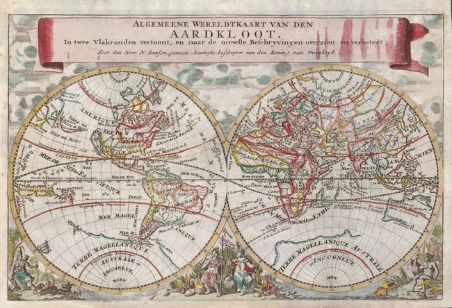
A double hemisphere map beautifully decorated with clouds at top and allegorical representations of the continents at bottom. California is shown as an island, Terre de Iesso stretches between Asia and North America, there is a bit of Nouvelle Zeelande that connects to the coastline of the mythical Terre Magellanique, and Australia is only partly mapped. The cartography is based on Nicolas Sanson, who is credited in the title, and engraved by Anthony d'Winter. It was published in the Dutch version of Jans Luyts' geography, published by Francis Halma.
References: Shirley #553.
Condition: A
There is expert paper restoration in the blank margins.