Subject: Cartographic Reference
Period: 1983-2004
Publication:
Color:
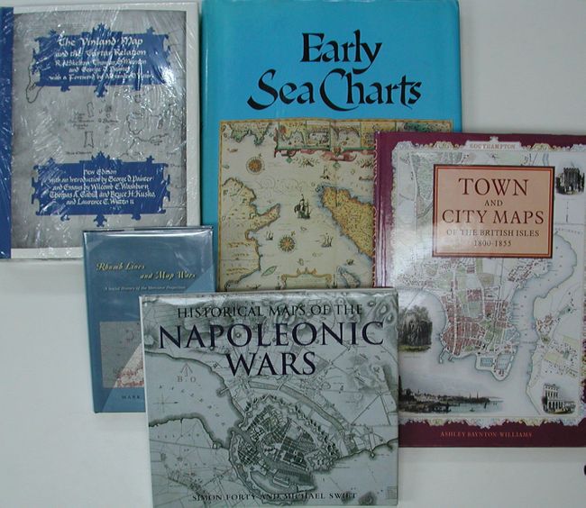
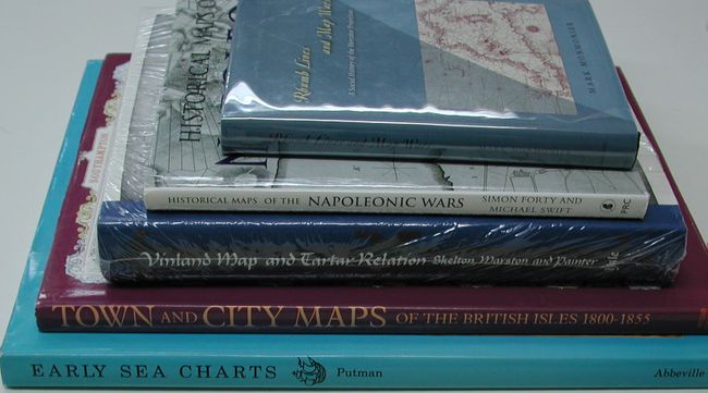
1) The Vinland Map and the Tartar Relation, R.A. Skelton, Thomas Marston and George Painter. New edition. (9.5 x 11.8") Dust cover. Unopened in shrink wrap. (A+)
2) Town and City Maps of the British Isles 1800-1855, Ashley Bayton-Williams, London, 1992. (10.5 x 14.5") Dust cover. (A+)
3) Historic Maps of the Napoleonic Wars, Simon Forty and Michael Swift, London, 2003. (11.3 x 10") Dust cover. Fine. (A+)
4) Early Sea Charts, Robert Putman, New York, 1983/ (12 x 15.5") Dust cover. Contents fine, a little sunning to cover. (A)
5) Rhumb Lines and Map Wars, Mark Monmonier, Chicago, 2004. (6 x 8.5") Dust cover with protective sleeve. (A+)
References:
Condition:
See individual descriptions above.