Subject: Atlases
Period: 1918 (circa)
Publication:
Color: Printed Color
Size:
11.5 x 15 inches
29.2 x 38.1 cm
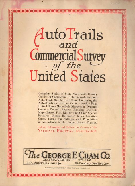
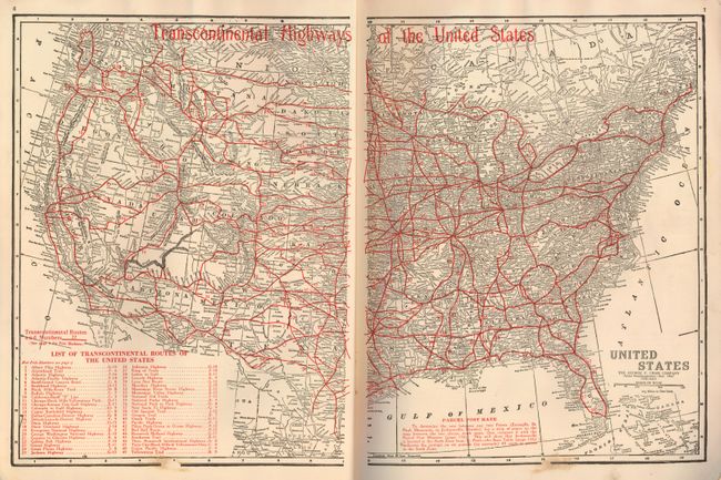
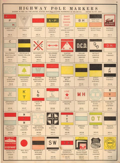
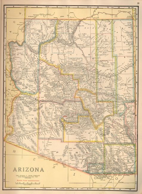
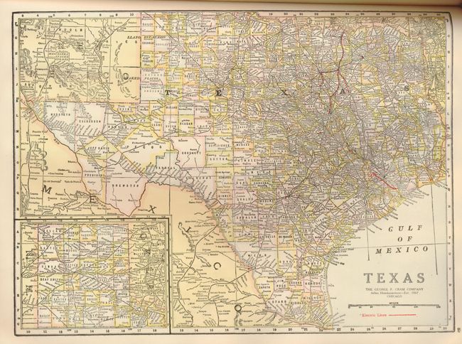
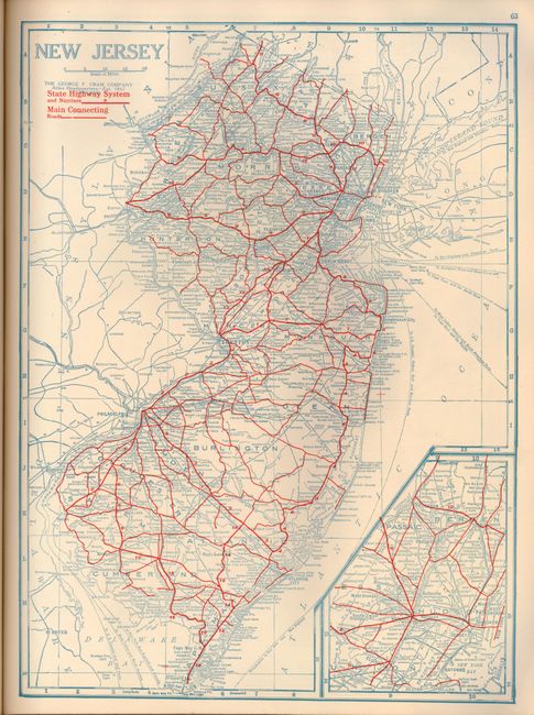
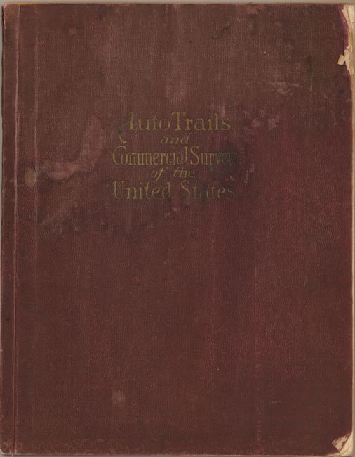
This rare early auto road atlas was published during the time period that the National Highway System was being developed. It includes a complete series of state maps, individual auto-trails map for each state, a double page Transcontinental Highway United States map, map of the National Parks, Federal Reserve Banking Districts map and an index locating cities, towns, and villages. Also included is a wonderful full-color plate, Highway Pole Markers, which depicts 49 road signs of these early highways. Each state map is double-sided with one side showing the roads and with Cram's standard state/county map showing counties and political information on the other side. 136 pp. Original limp brown pebbled cloth covers. Undated, but this is an early edition prior to the National Map Company's purchase of the George F. Cram & Company in 1921.
References:
Condition: B+
Map and contents very good with a few minor spots and wear at corners. Covers damp stained with wear at edges and corners.