Subject: Atlases
Period: 1852-53 (dated)
Publication:
Color: Hand Color
Size:
9.7 x 12 inches
24.6 x 30.5 cm
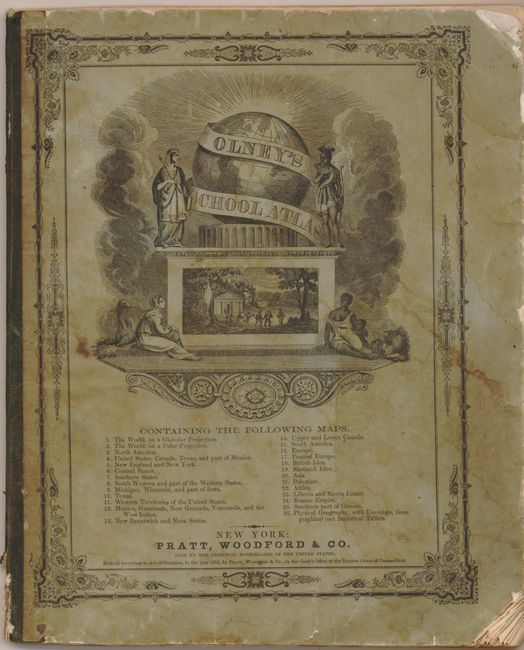
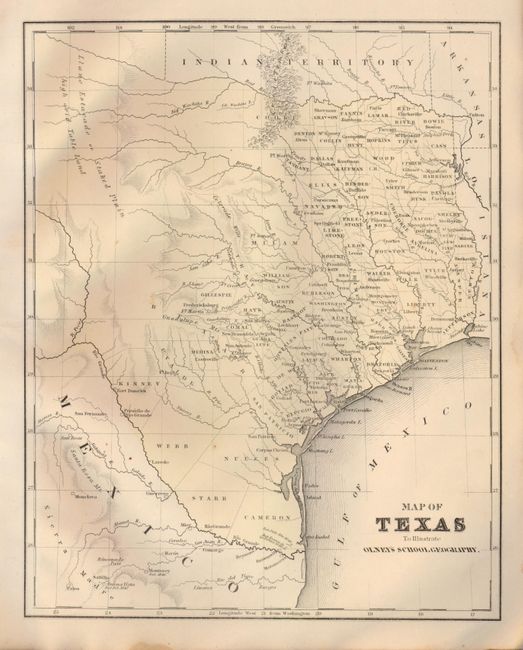
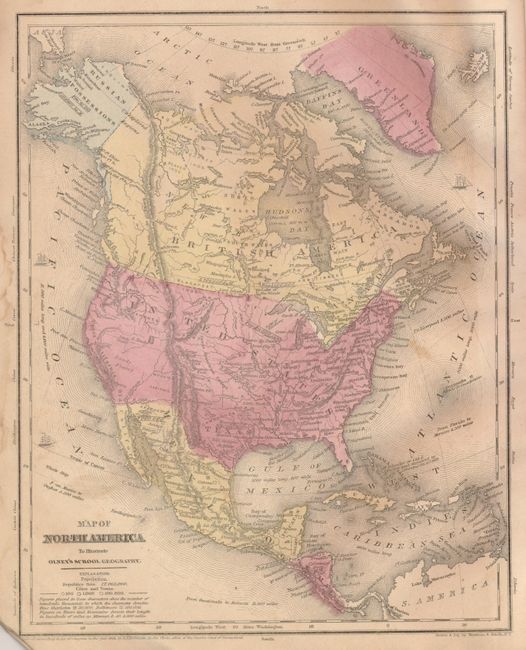
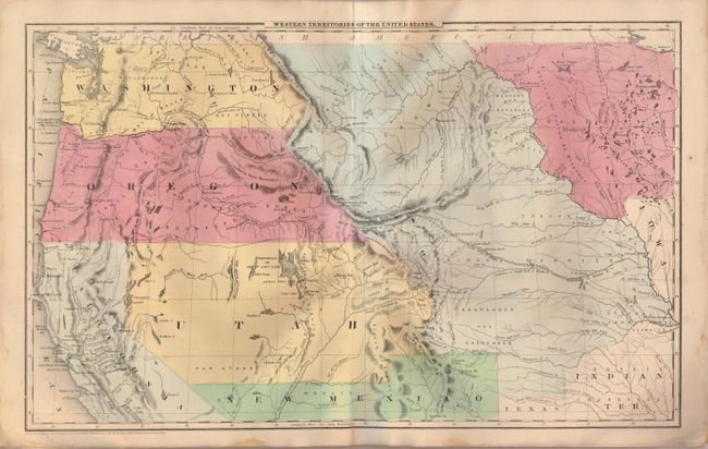
1) Olney's School Atlas, published by Jesse Olney, New York, 1853. This is a complete example of Olneys' atlas with 26 maps (on 18 sheets) with several of the United States as well as maps of the world and continents. The United States map includes large western territories, and there is a great Western Territories of the United States and a nice map of Texas. Printed paper covers that double as the title page and list of maps. Published by Pratt, Woodford & Co., New York.
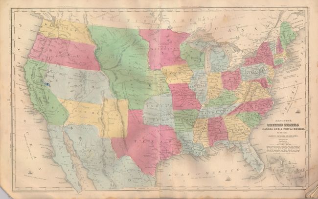
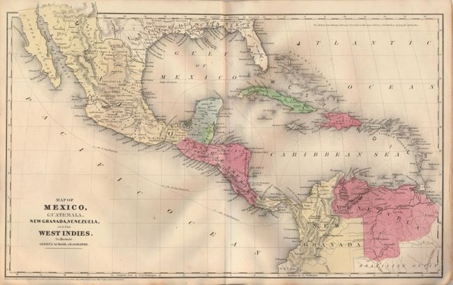
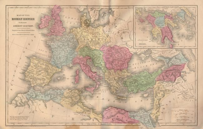
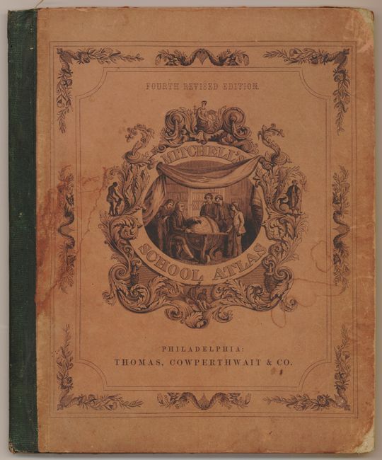
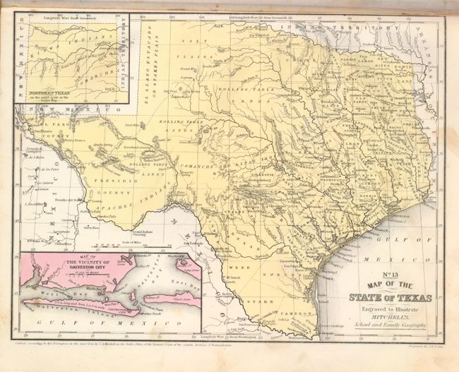
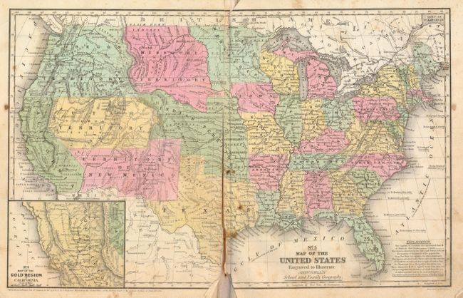
2) Mitchell's School Atlas, published by Thomas, Cowperthwait & Co., Philadelphia, 1852. This is a nice example of Mitchell's famous school atlas with 32 maps (on 18 sheets) along with tables and statistics. The map of the United States features large western territories and the Pre-Gadsden purchase border with Mexico. The map of the Gold Region in California, inset into the map of the U.S., contains the names of numerous important gold mining towns in central California. The atlas also includes a nice map of Texas. Hardbound with pictorial paper over boards. This is the fourth revised edition.
References:
Condition: B
Both with worn and damp stained covers. Maps with some minor foxing and stains. The Mitchell U.S. map is split along the centerfold.