Subject: Atlases
Period: 1839 (dated)
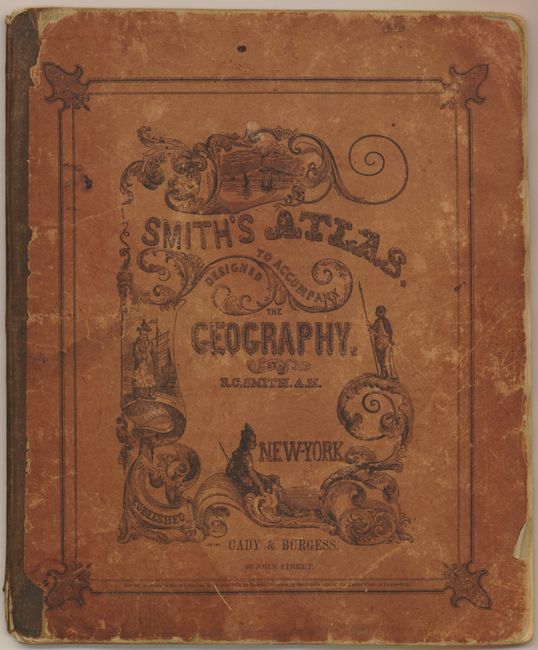
Publication: Cady & Burgess,
Color: Hand Color
Size:
9.5 x 11.5 inches
24.1 x 29.2 cm
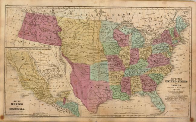
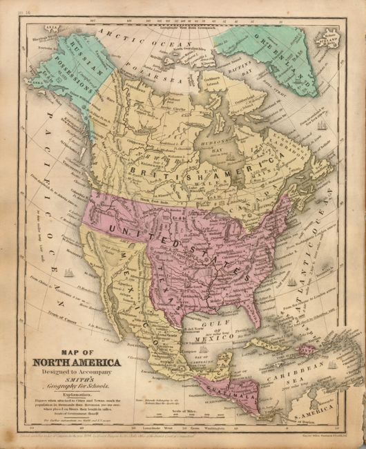
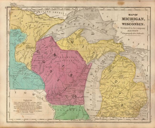
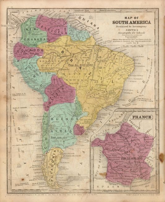
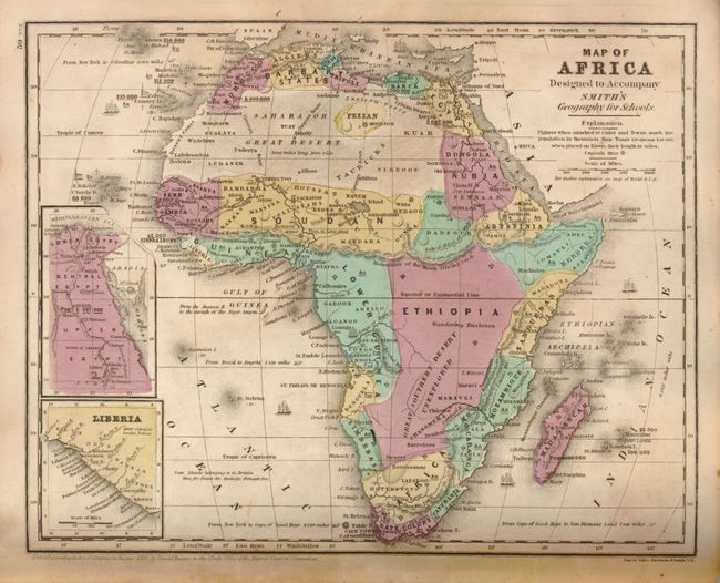
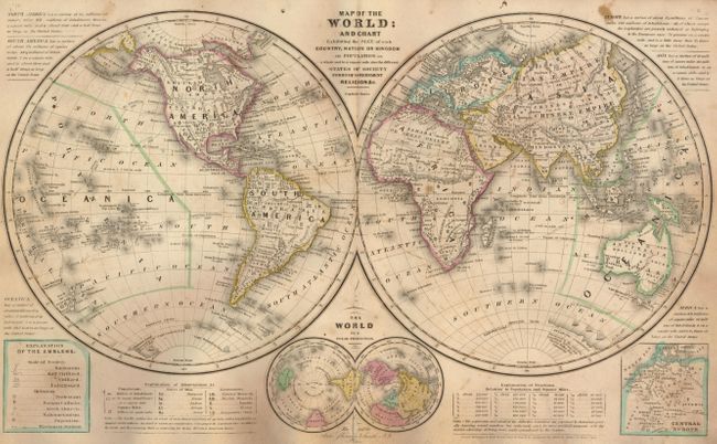
This small school atlas contains 17 maps of the world, continents, regions in the United States, West Indies, Britain, Central Europe, and Oceanica. Texas is shown as an independent republic on the world map. However, on the maps of North America and the United States, it is shown subsequent to its annexation into the U.S. with the 'stovepipe' configuration of the panhandle. Also of interest on the U.S. map is the Great American Desert, which embraces the region west of the 101st meridian to the Rocky Mountains, and from the Arkansas to the North Fork of the Platte. The country west of Arkansas and Missouri, and between the Platte and the Red River, is called Indian Territory, and the only other western territories are the huge Nebraska and Oregon territories. Copyright dated 1839, but published circa 1846 by Cady & Burgess. Original illustrated paper covers.
References:
Condition: B
Maps with some offsetting and a few spots. Covers worn but binding is still sound.