Catalog Archive
Auction 127, Lot 327
"A Map of Pensylvania, with Part of the Adjacent States from the Latest Surveys", Morse, Jedidiah (Rev.)
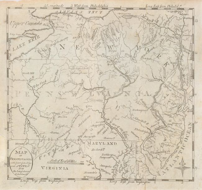
Subject: Pennsylvania
Period: 1793 (published)
Publication: Morse's American Universal Geography
Color: Black & White
Size:
7.8 x 7.2 inches
19.8 x 18.3 cm
Download High Resolution Image
(or just click on image to launch the Zoom viewer)
(or just click on image to launch the Zoom viewer)