Catalog Archive
Auction 127, Lot 326
"Map No. 2 from the Northern Boundary of California to the Columbia River from the explorations and surveys made under the direction of Hon. Jefferson Davis, Sec. of War…", Williamson & Abbot
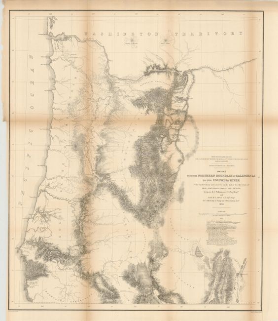
Subject: Oregon
Period: 1855 (dated)
Publication: U.S. Pacific Railroad Surveys
Color: Black & White
Size:
23 x 27.3 inches
58.4 x 69.3 cm
Download High Resolution Image
(or just click on image to launch the Zoom viewer)
(or just click on image to launch the Zoom viewer)