Antique Maps, Charts, Atlases and Globes for Sale at Auction

Old World Auctions - Antique Map Specialists


Antique Map Auction Sale No. 127 - closed 2/25/2009

Featuring 870 lots of rare antique maps, charts, pocket maps, globes and atlases
Prices Realized       Table of Contents       Search Auction


Lot #155: "Geognostische Karte der Nord-Americanischen Freistaaten" Hildburghausen Biblio Institut

Antique map chart Geognostische Karte der Nord Americanischen Freistaa
Click to see full size image(s)

Estimate:
$150.00 - $200.00
Sold for: $230.00

Lot 155
By: Hildburghausen Biblio Institut
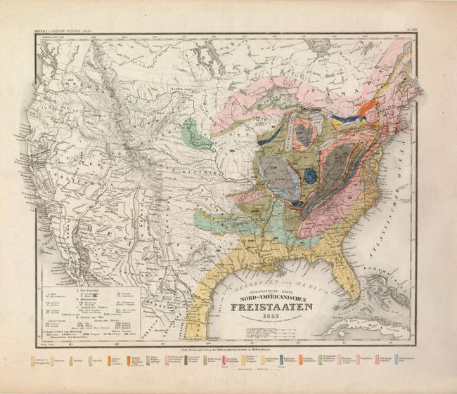
Subject: United States
Date: 1852

Publication: Meyers Grosser Zeitungs-Atlas

Condition: B+
See Condition Guidelines

Color: hand color

Size: 14 x 11.5 inches
35.6 x 29.3 cm

Colorful geological map with political divisions pre-dating 1852. The west has a large Upper California, narrow New Mexico, and Oregon extending to the Canadian border. Texas is independently named and there is a large Ozark District in today's Oklahoma. The great plains are defined as the Mandanen, Osage and Ozark Districts. The Gold Region is shown in California. Legend identifies 20 geological formations, each represented by a different color. Blank verso.

Very good with fine original coloring, strong impression and full margins. There are two or three small spots in uncolored areas.

Search this archived auction | Antique Map Price Guide