Catalog Archive
Auction 124, Lot 714
"Sketch of Dusky Bay in New Zeeland", Cook, James (Capt.)
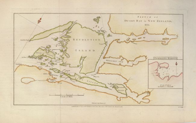
Subject: New Zealand
Period: 1777 (dated)
Publication: A New, Authentic and Complete Collection of Voyages Round the World
Color: Hand Color
Size:
14.8 x 8 inches
37.6 x 20.3 cm
Download High Resolution Image
(or just click on image to launch the Zoom viewer)
(or just click on image to launch the Zoom viewer)