Antique Maps, Charts, Atlases and Globes for Sale at Auction

Old World Auctions - Antique Map Specialists


Antique Map Auction Sale No. 124 - closed 5/7/2008

Featuring 801 lots of rare antique maps, charts, pocket maps, globes and atlases
Prices Realized       Table of Contents       Search Auction


Lot #493: "Germania" Cluver/Jansson

Antique map chart Germania
Click to see full size image(s)

Estimate:
$70.00 - $100.00
Sold for: $50.00

Lot 493
By: Cluver/Jansson
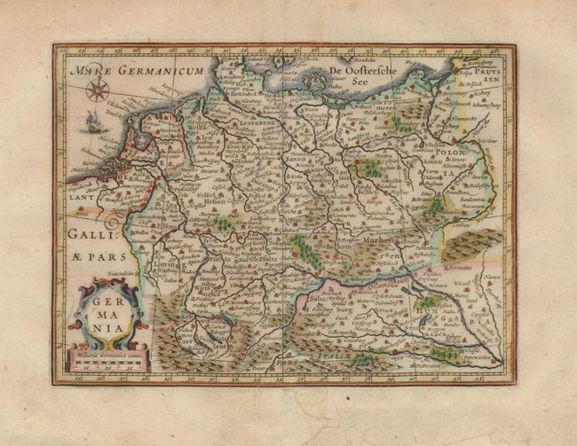
Subject: Europe - Central
Date: 1661

Publication: Introductionis in Universam Geographicam

Condition: A
See Condition Guidelines

Color: hand color

Size: 7.5 x 5.5 inches
19.1 x 14.0 cm

This small map of the German Empire shows the river systems, mountains, forests and major cities. It covers the region form Belgium and France through Poland and Hungary. It is embellished with a strapwork title cartouche, a compass rose and a tiny sailing ship.

There is some paper replacement and repairs in the bottom margin, with one tear nearly touching the neatline.

Search this archived auction | Antique Map Price Guide