Catalog Archive
Auction 123, Lot 719

"[Lot of 2] Carte de l'Indoustan, Suivant les Cartes les plus Recentes… I e. Feuille [and] Suite de la Carte de l'Indoustan, II e. Feuille", Bellin/Van Schley

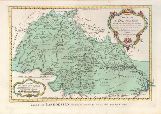
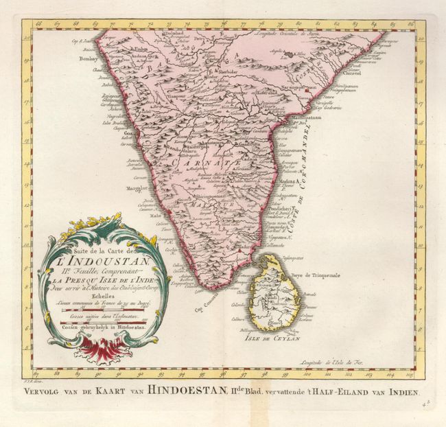
Subject: Southern Asia

Period: 1752 (dated)

Publication: Raynal's Atlas Portatiff

Color: Hand Color

Size:
See Description
Download High Resolution Image
(or just click on image to launch the Zoom viewer)

A pair of maps together depicting the Indian subcontinent, with nicely detailed topography. The first map (13.5 x 9"), depicts the northern part, which includes present-day Pakistan and Afghanistan. The second (9.7 x 8.6"), covers the southern part along with Sri Lanka. The maps stand on their own, with decorative title cartouches, and Dutch titles below.

References:

Condition: A

First map with a nice impression, and a few tiny spots. Second map with a light stain in the bottom margin that just touches the border.

Estimate: $150 - $200

Unsold

Closed on 2/20/2008

Archived