Catalog Archive
Auction 123, Lot 684
"A Map of the Holy Land or ye Travels of ye Children of Israel out of Egypt through the Red Sea & the Wilderness into Canaan", Hutchinson, Thomas
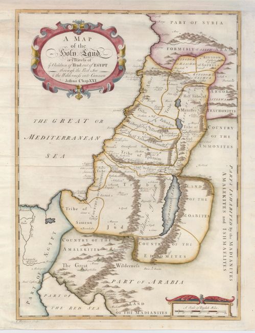
Subject: Holy Land
Period: 1733 (circa)
Publication: The Works of Flavius Josephus…
Color: Hand Color
Size:
12.5 x 17 inches
31.8 x 43.2 cm
Download High Resolution Image
(or just click on image to launch the Zoom viewer)
(or just click on image to launch the Zoom viewer)