Catalog Archive
Auction 123, Lot 497

"Oost ende West Vrieslandts beschrijvinghe. Utriusque Frisiorum Regeionis Noviss Description", Ortelius, Abraham

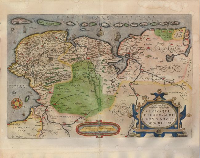
Subject: Netherlands

Period: 1568 (dated)

Publication:

Color: Hand Color

Size:
20 x 13.3 inches
50.8 x 33.8 cm
Download High Resolution Image
(or just click on image to launch the Zoom viewer)

Handsome map of the northern part of the Netherlands, today's provinces of Friesland, Groningen, Drenthe and part of Overijssel and Gelderland. Also shown is the adjacent part of Germany. To the north is the Waddenzee, with its string of offshore islands, decorated with several sailing ships. Large compass rose, distance scale and strapwork title cartouche adorn the map. Second state published in the Latin edition 1595-1601.

References: Van den Broecke #80-2.

Condition: B

Several very short fold separations in blank margins. Some damp staining in map.

Estimate: $500 - $600

Sold for: $450

Closed on 2/20/2008

Archived