Catalog Archive
Auction 123, Lot 434

"Carte de la Guiane Pour servir a l'Hist. des Etablissemens Europeens", Bellin, Jacques Nicolas

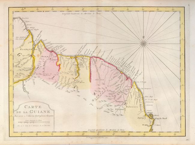
Subject: Guyana, Suriname, French Guiana

Period: 1773 (dated)

Publication: Raynal's Atlas Portatiff

Color: Hand Color

Size:
12.5 x 9 inches
31.8 x 22.9 cm
Download High Resolution Image
(or just click on image to launch the Zoom viewer)

Attractive, detailed map of the coast and near-interior of the area showing towns, villages, mountains and watershed. The map locates several forts, including Kyk-Overal, Nassau and Sommelsdyk. A simple title cartouche, rhumb lines and a charming compass rose decorate the map. Engraved by A. van Krevelt.

References:

Condition: B+

Fine color and very nice, delicate impression. Full margins. Map has one spot, and a trace of toning along the centerfold.

Estimate: $70 - $90

Sold for: $50

Closed on 2/20/2008

Archived