Subject: Greater Antilles
Period: 1825-55 (circa)
Publication:
Color: Hand Color
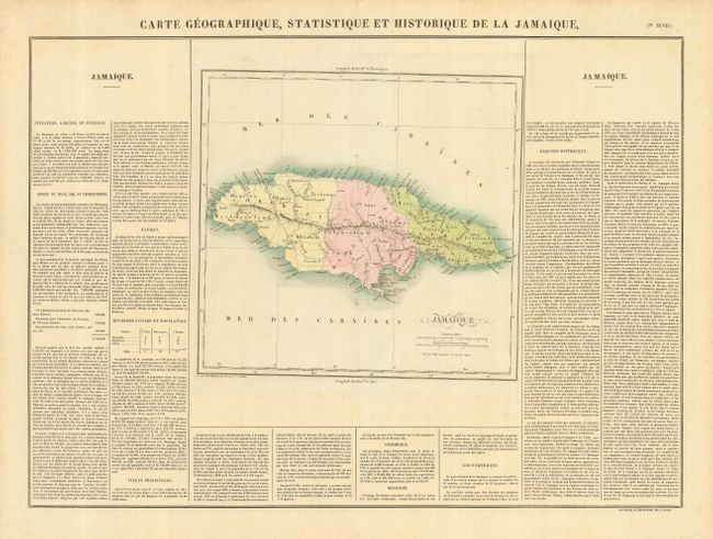
1) Carte Geographique, Statistique et Historique de la Jamaique is an attractive map from the French version of Carey & Lea's atlas, published by Jean Alexandre Buchon in 1825. It features simple topographic detail and many place names, including Montego Bay and Kingston. The map (11.8 x 11.3") is flanked with descriptive text ( 24 x 17.3" overall).
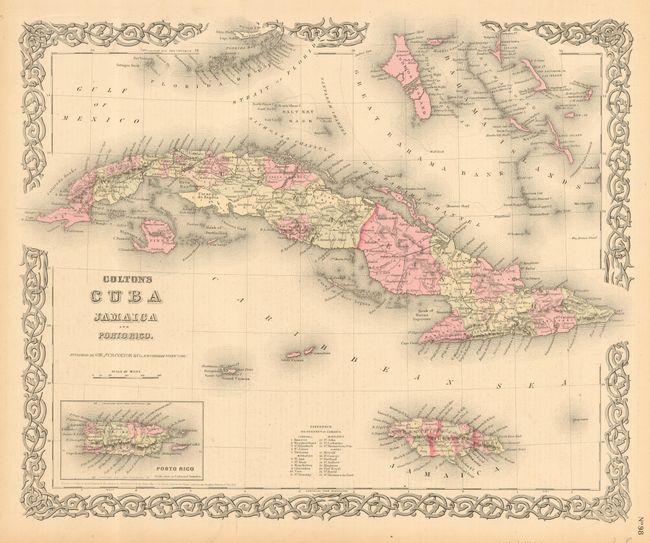
2) Colton's Cuba, Jamaica and Porto Rico was published by J. H. Colton circa 1855. It includes the Bahama Islands and the Florida Keys above, with Puerto Rico included in an inset. The map is surrounded with Colton's trademark strapwork border (15.5 x 12.8").
References:
Condition: A
1) Nice impression on a strong sheet with original color. Marginal fold separations and a short tear repaired on the verso with archival tape. 2) Original color on a sheet with some minor marginal chips, short tears and a repaired tear in the upper left just into border.