Subject: Massachusetts
Period: 1893 (dated)
Publication:
Color: Black & White
Size:
19.5 x 13 inches
49.5 x 33 cm
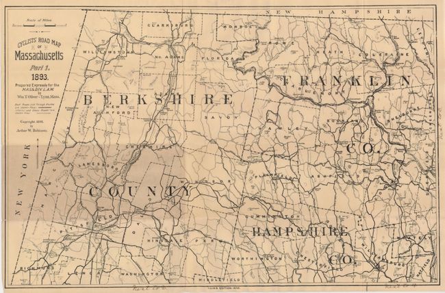
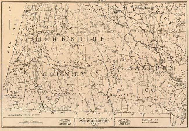
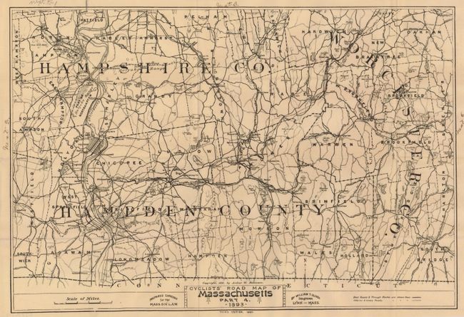
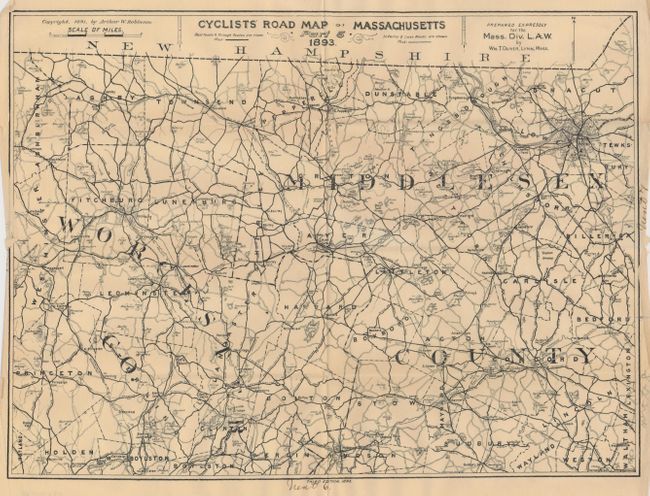
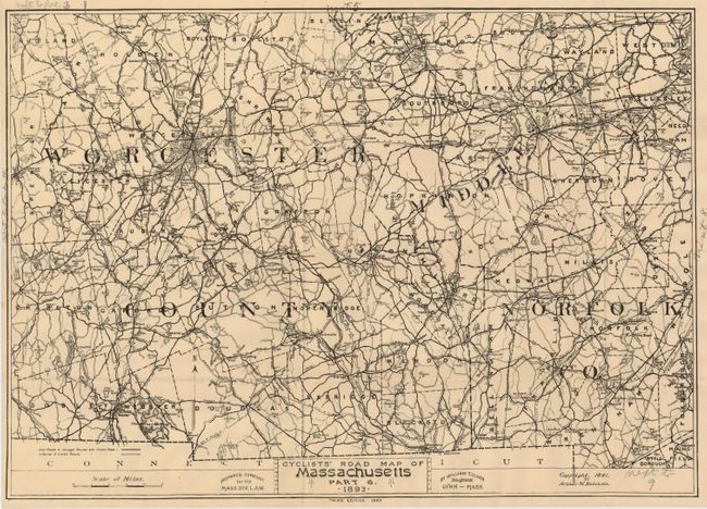
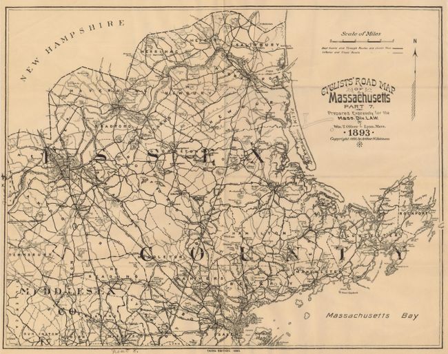
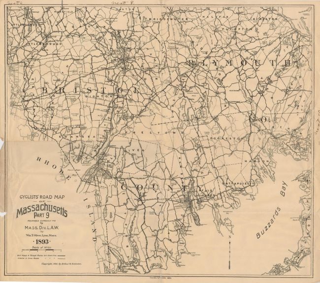
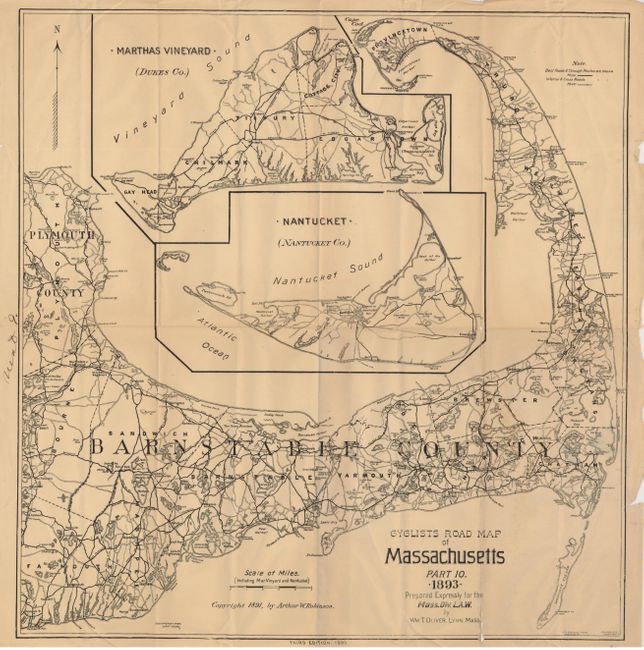
Scarce set of maps "Prepared expressly for the Mass. Div. L.A.W." (League of American Wheelman). This is the third edition of these maps, drafted by William T. Oliver, Lynn, MA. Each has a distance scale and a key identifying the best and inferior roads. Map number 10, which covers the Cape Cod area, includes two large insets of Martha's Vineyard and Nantucket. In addition to the roads, these maps also show railroads, towns, some topography and a proposed shipping canal on the Cape. Originally ten maps, this set is missing numbers 3 and 8. Maps are printed on banknote and generally measure 19.5 x 13", with a couple measuring 16.5 x 17". They fold to 4.5 x 9".
References:
Condition: B+
Maps have some fold splits. Maps number 9 & 10 have minor loss along some folds. Original owners occasional notation in margin noting the adjacent map number.