Subject: Baltimore, Maryland and Delaware
Period: 1873 (published)
Publication: National Atlas
Color: Hand Color
Size:
14.8 x 11.5 inches
37.6 x 29.2 cm
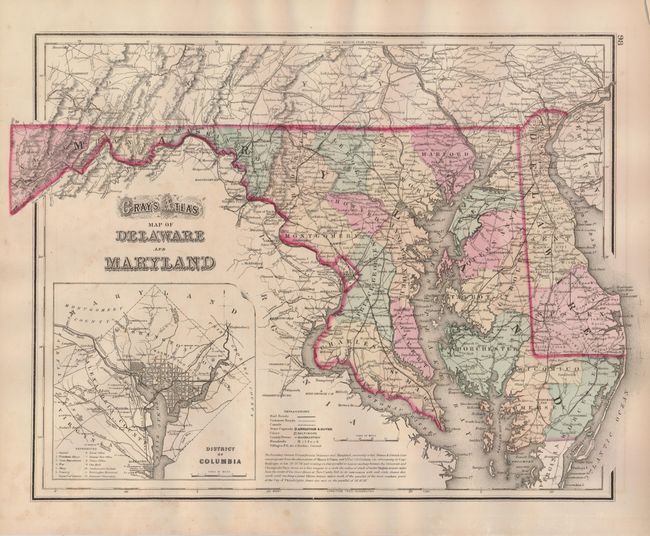
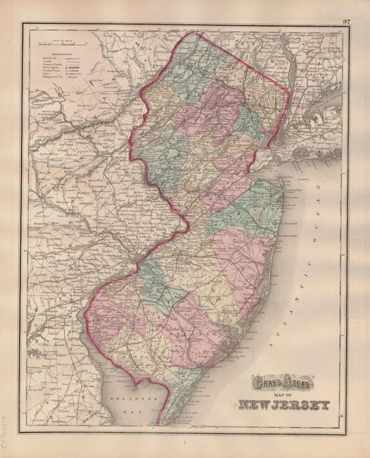
The first is a fine map of the states that is filled with detail and information. The large inset plan of Washington D.C. is finely engraved and extends to include the surrounding area. The map itself is filled with information including railroads, wagon roads, towns and villages, canals, capitals, post offices and much more. An equally fine and detailed map of New Jersey is on verso.
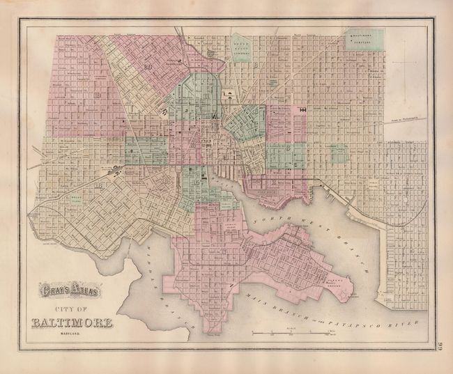
The second map is a detailed street plan of Baltimore. It names all streets, numerous buildings, parks, railroads and more. Planned reclamation in the downtown area along the Patapsco River is shown. The roads to Philadelphia, Calverton and Fredericktown are shown. The various wards in the city are hand colored, and numbered.
Nice pair of maps, both approximately sized as given.
References:
Condition: B+
Both have fine, original hand coloring and full margins. And they both have a trace of foxing, else very good.