Subject: Arizona
Period: 1905 (dated)
Publication:
Color: Printed Color
Size:
17 x 20.3 inches
43.2 x 51.6 cm
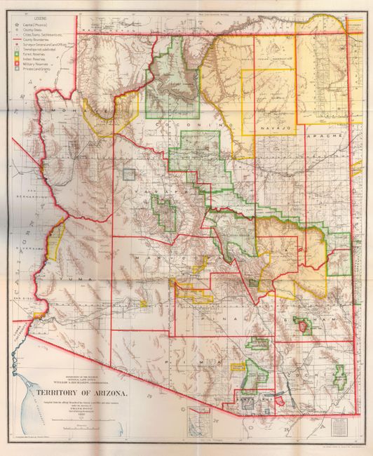
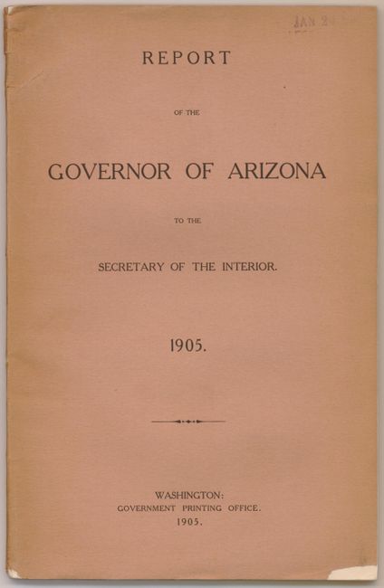
This colorful and fascinating map provides a detailed look at Arizona Territory just seven years before statehood. The extent of nine Indian reservations and three military reservations, including Fort Apache, and numerous National Forest Reserves are clearly shown in different colors. Private claims, confirmed and unconfirmed, are outlined in red. The Grand Canyon Forest Reserve is shown. Brown hachured mountainous areas and blue waterways combine to provide great visual impact. Details include watershed, mountains, railroads, wagon roads, private claims, unsurveyed townships, etc. This map initially appears identical to the 1903 edition, but closer study shows subtle but important differences. Drawn by Daniel O'Hare, and lithographed by the Norris Peters Co., Photo-Litho. The map is bound in the original "Report of the Governor of Arizona to the Secretary of the Interior," 1905 (6" x 9"). Paper covers, 92pp with text and tables describing the territory including immigration, taxation, mining, banks, railroads, ostrich farming, and much more. The map is seldom seen with its original report.
References:
Condition: A+
Map is mint. Report is clean and bright with a small chip out of bottom edge on cover.