Subject: United States
Period: 1908 (dated)
Publication:
Color: Printed Color
Size:
32 x 23.3 inches
81.3 x 59.2 cm
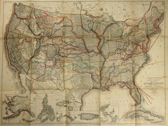
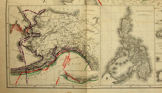
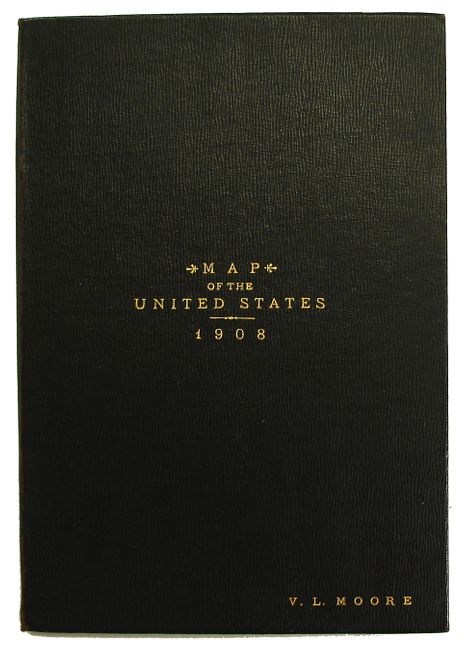
Handsome and very detailed map showing the tracks of nearly three dozen explorers such as Ponce de Leon, Sir Francis Drake, Fremont, Capt. Cook, Bering, and Lewis and Clark. The finely engraved map includes all of Cuba and has the following insets: Alaska, Philippine islands, Guam, Tutuila Group of the Samoan Islands, Hawaiian Islands, Panama Canal, Isthmus of Panama Showing Location of Canal and Porto Rico. The map shows the United States with very little territory unsurveyed. Additional features include international and state boundaries, state capitals and major cities, rivers and lakes, and survey grids. The map is mounted on linen and folds into original black cloth covers with gilt title on front.
References:
Condition: B+
Map has a couple of light stains or offsetting visible in blank areas. Some splits at fold intersections. Covers are like new less a very small amount of wear along the spine edge.