Catalog Archive
Auction 122, Lot 750
"Plan du Port et de la Ville de Nangasaki", Bellin, Jacques Nicolas
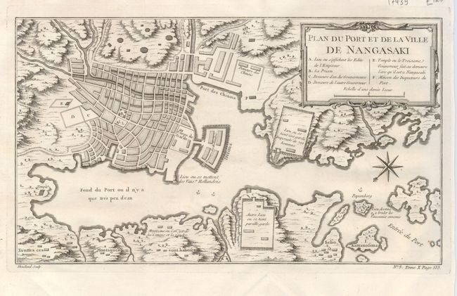
Subject: Japan
Period: 1763 (circa)
Publication: Petit Atlas Francois
Color: Black & White
Size:
13.2 x 7.5 inches
33.5 x 19.1 cm
Download High Resolution Image
(or just click on image to launch the Zoom viewer)
(or just click on image to launch the Zoom viewer)