Catalog Archive
Auction 122, Lot 558
"Nova Alemanniae sive Sueviae Superioris Tabula", Hondius, Henricus
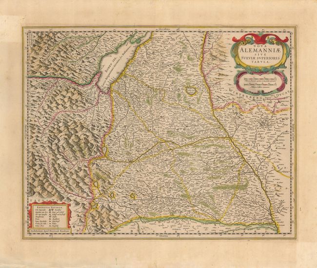
Subject: Central Europe
Period: 1630 (circa)
Publication:
Color: Hand Color
Size:
19.3 x 15 inches
49 x 38.1 cm
Download High Resolution Image
(or just click on image to launch the Zoom viewer)
(or just click on image to launch the Zoom viewer)