Antique Maps, Charts, Atlases and Globes for Sale at Auction

Old World Auctions - Antique Map Specialists


Antique Map Auction Sale No. 122 - closed 1/5/2007

Featuring 928 lots of rare antique maps, charts, pocket maps, globes and atlases
Prices Realized       Table of Contents       Search Auction


Lot #22: 
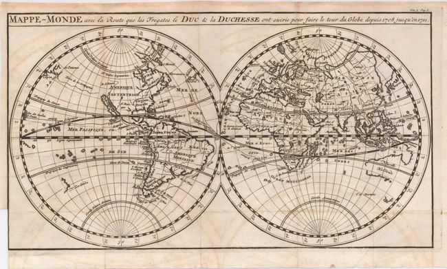
"Mappe-Monde avec la Route que les Fregates le Duc & la Duchesse ont suivie pou faire le Tour du Globe depuis 1708 jusqu'en 1711" Anonymous

Antique map chart Mappe Monde avec la Route que les Fregates le Duc  l
Click to see full size image(s)

Estimate:
$200.00 - $250.00
Sold for: $210.00

Lot 22
By: Anonymous
Subject: World
Date: 1712

Publication:

Condition: B
See Condition Guidelines

Color: uncolored

Size: 11.6 x 6.4 inches
29.5 x 16.3 cm

Uncommon map of the world that shows Calfornia as an island and traces the route of Capt. Woodes Rogers in his voyages of 1708-11 on the ships the Duke and Duchess. English merchants, long harassed by pirates in the Pacific seas, hired Rogers to retaliate by attacking and looting the rich Spanish ships on the Pacific coast -- he was very successful in this enterprise, and even rescued the castaway Alexander Selkirk off of Juan Hernandez Island along the way.

A sound example with folds as issued. The binding trim at left follows the neatline for 1". A little faint offsetting and a printer's crease on the right.

See on Map Price Guide | See similar on Map Price Guide
Search this archived auction | Antique Map Price Guide