Catalog Archive
Auction 121, Lot 804

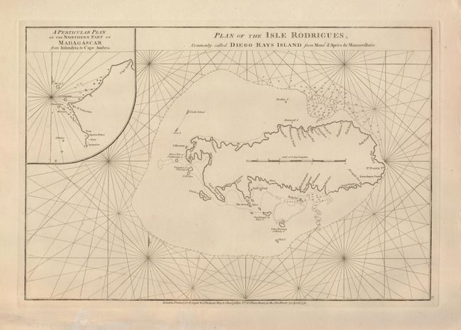
"Plan of the Isle Rodrigues, commonly called Diego Rays Island", Apres de Mannevillette, Jean B. N. D.

Subject: Indian Ocean

Period: 1778 (dated)

Publication:

Color: Black & White

Size:
19 x 12.8 inches
48.3 x 32.5 cm
Download High Resolution Image
(or just click on image to launch the Zoom viewer)

Uncommon sea chart of the strategically important Rodrigues Island, located east of Mauritius in the Indian Ocean. Inset at left is "A Particular Plan of the Northern Part of Madagascar from Insandria to Cape Ambro." Published by Sayer and Bennett.

References:

Condition: A

A dark impression on a thick sheet with some marginal tears and repairs, not affecting the map.

Estimate: $275 - $350

Sold for: $425

Closed on 9/26/2007

Archived