Catalog Archive
Auction 121, Lot 784
"Het Westelyk gedeelte van het Oude Vaste Land, van Lisbon tot aan de Rivier Sierra Leona; benevens de Madera, Kanarische en Kaap Verdesche Eilanden", Bachiene, Willem Albert
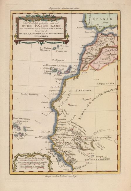
Subject: Africa - Northwestern
Period: 1785 (circa)
Publication: Atlas tot Opheldering der Hedendaagsche Historie…
Color: Hand Color
Size:
8.5 x 12.5 inches
21.6 x 31.8 cm
Download High Resolution Image
(or just click on image to launch the Zoom viewer)
(or just click on image to launch the Zoom viewer)