Subject: Atlases
Period: 1904 (dated)
Publication:
Color: Printed Color
Size:
12 x 16.5 inches
30.5 x 41.9 cm
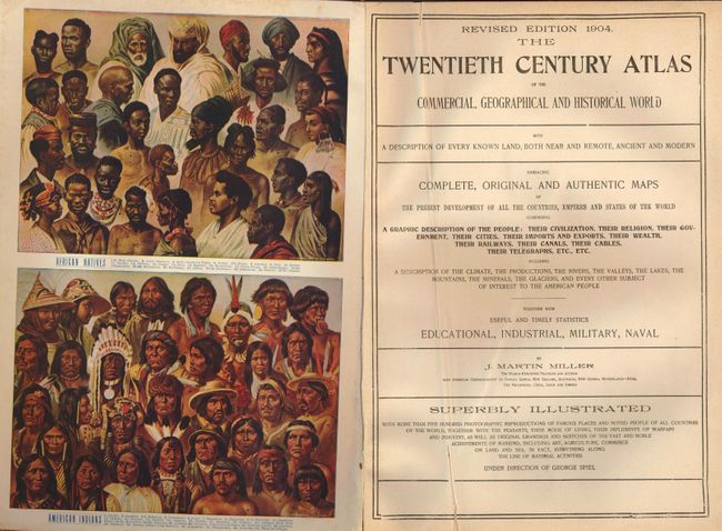
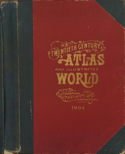
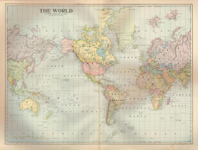
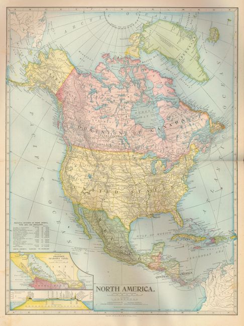
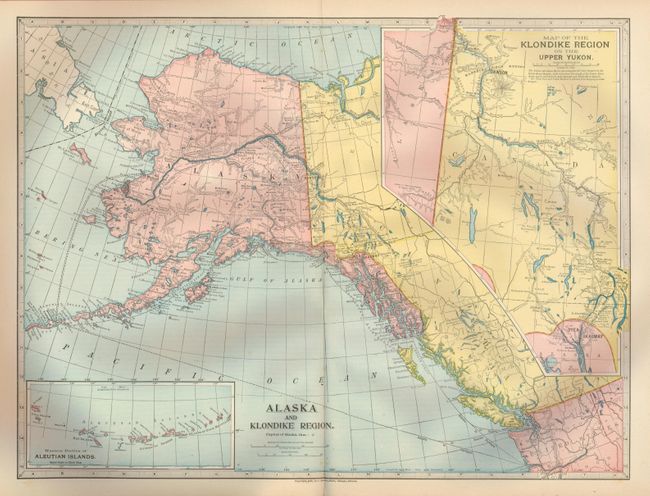
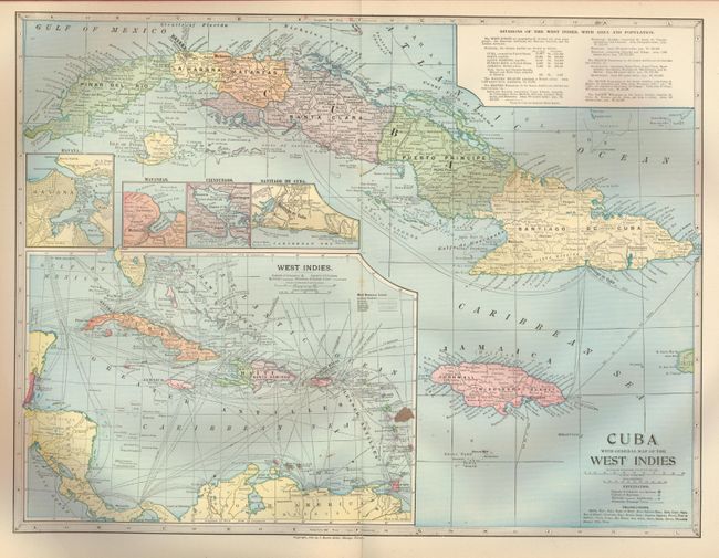
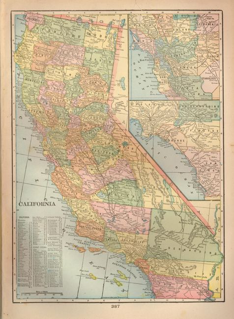
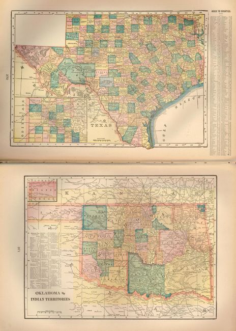
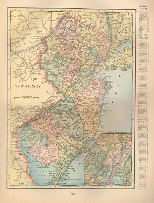
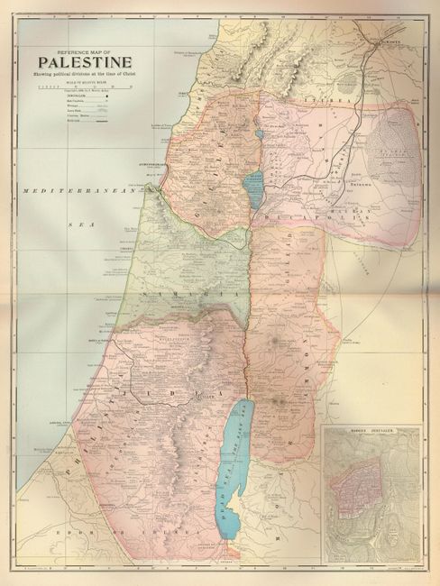
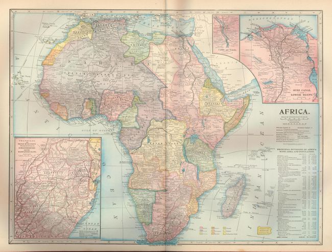
Nice example of a turn of the 20th century combination of history, geographic encyclopedia, gazetteer and atlas. This example is superbly illustrated with more the 500 photographs, and features 68 richly colored maps, 49 of which are U.S. state maps, printed on both sides. Of particular interest is the Alaska and Klondike Region map published in 1899. Another, British America shows the Dominion of Canada with its territorial and provincial boundaries in a later, but not final, configuration. Folio, complete, 388 pp. Hardbound in original embossed boards with cloth spine and corners.
References:
Condition: B
Text and maps with occasional light foxing and some minor edge tears. First 3 pages separated. Covers are shelf worn and corners are bumped with some loss. Spine, hinges and binding are loosened, otherwise a nice example.