Subject: Atlases
Period: 1899 (dated)
Publication:
Color: Printed Color
Size:
10 x 13 inches
25.4 x 33 cm
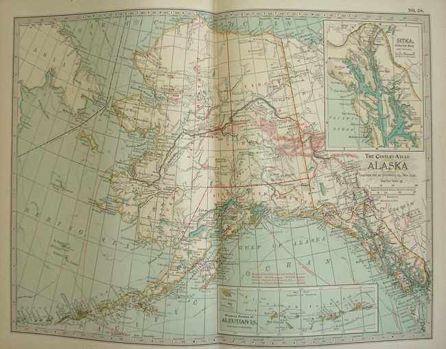
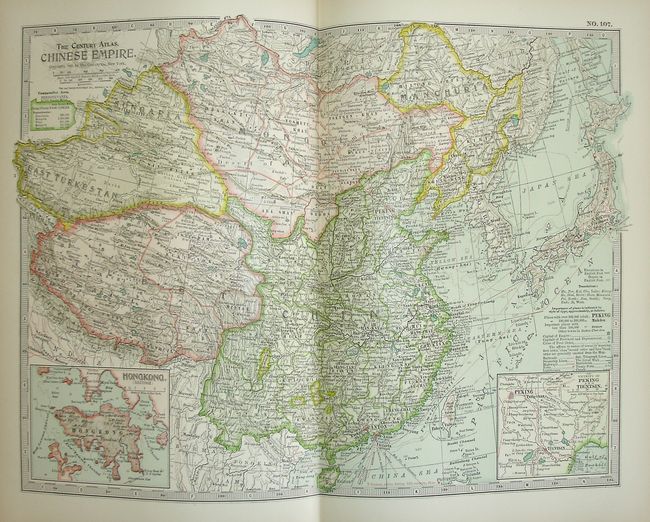
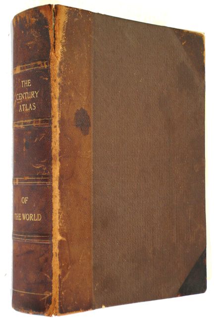
This atlas has 136 of 138 plates, plus 39 historical and astronomical maps on 20 plates that make up the first section. The main section of modern geographical maps follows, and has an exhaustive 402 page index. The maps are packed with detail, and beautifully printed with the railroads shown in red. All are printed on one side only and tipped in, unusual for atlases of this period. Maps #95 Norway and #99 Crete are missing. 4to. Original leatherbound hardboards with gilt raised bands and title on spine. A nice collection of maps.
References:
Condition: B
In the first signature there are several pages separated and lose with roughness to edges, including a few of the first thematic maps. The modern maps are all fine. Covers are rubbed and scuffed with front edge of spine worn into soft leather.