Subject: Atlases
Period: 1878 (published)
Publication:
Color: Printed Color
Size:
12 x 14 inches
30.5 x 35.6 cm
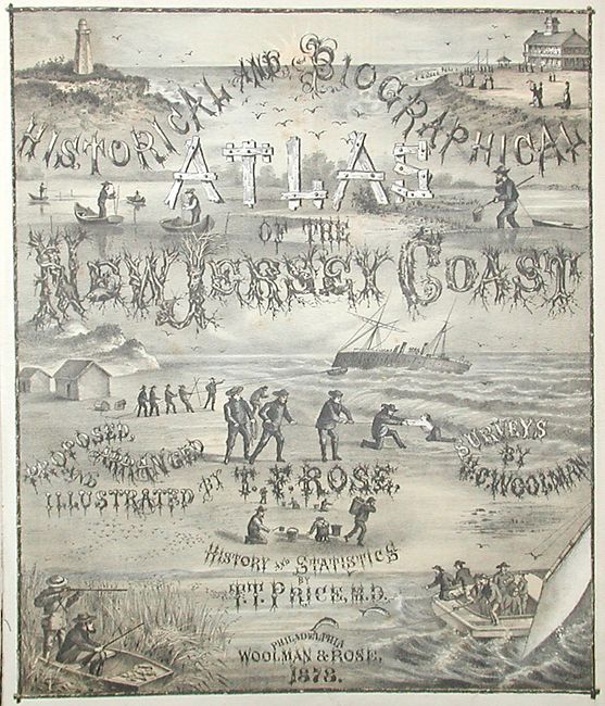
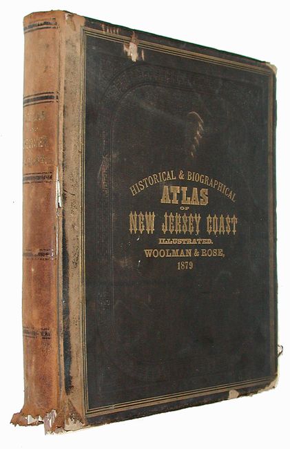
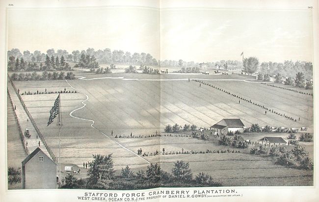
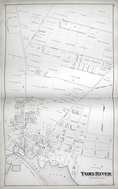
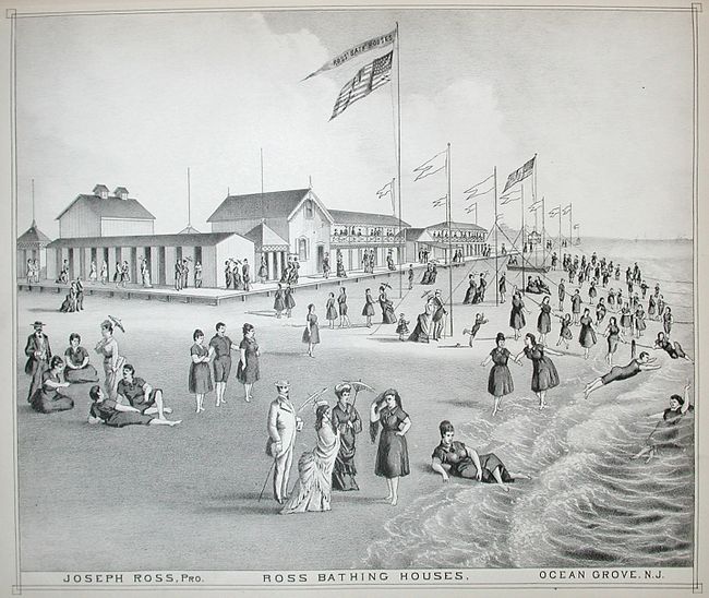
This very desirable and hard to find atlas of New Jersey contains 46 tinted lithograph maps that show details such as streets, landowners, railroads, rivers, farms, parks and significant buildings. This terrific atlas is filled with dozens of stone lithographic views of several well known homesteads, the lush countryside, many popular beaches and portraits of the state's civic leaders and accomplished citizens. A dramatic and charming two-tone, panoramic view of "Stafford Forge Cranberry Plantation" stretches across two pages. Each of these views were printed with the texture of the stone visible, creating a grainy, hand drawn effect. Some examples of the maps are Asbury Park; Brighton; Sea Girt with Spring Lake Beach; Toms River and folding maps of Atlantic City and Coast Chart No. 20: New York Bay and Harbor by the U.S. Coastal Survey. Complete. Folio, hardbound in original brown cloth with quarter calf spine. Gilt titling on front and spine.
References: Phillips (A) #2141.
Condition: B
Folding maps are quite fragile due to thinness of paper, therefore all have fold separations to varying degrees. Text and rest of maps and views good to fine. Both covers and spine separated from binding, which has come apart leaving several groups of signatures separated. Covers show typical wear to edges and corners with some loss. Spine is soft and has loss at lower extremity. Contents still clean and worthy of rebinding.