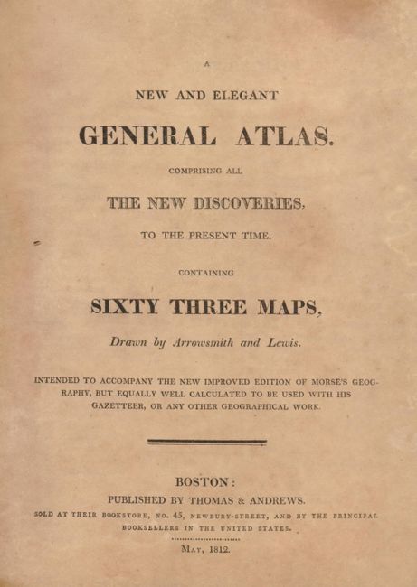
Subject: Atlases
Period: 1812 (published)
Publication:
Color: Black & White
Size:
9 x 10.8 inches
22.9 x 27.4 cm
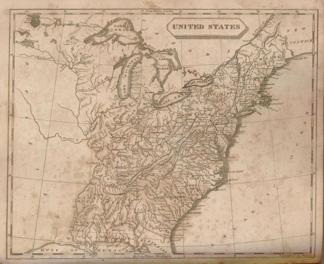
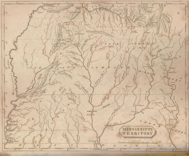
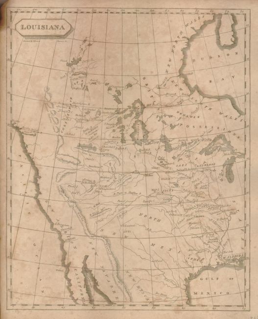
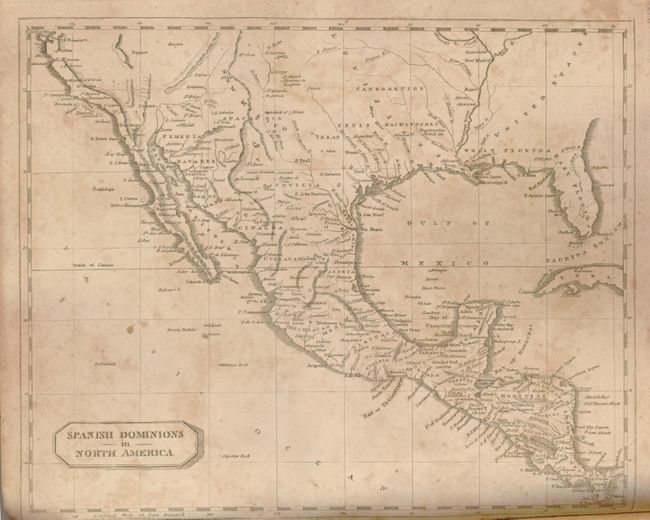
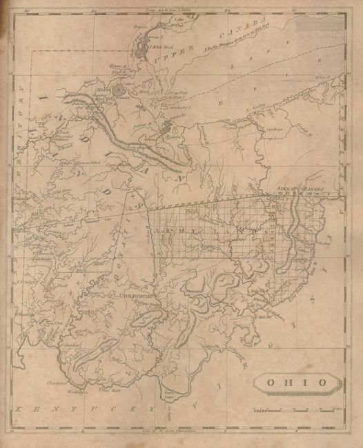
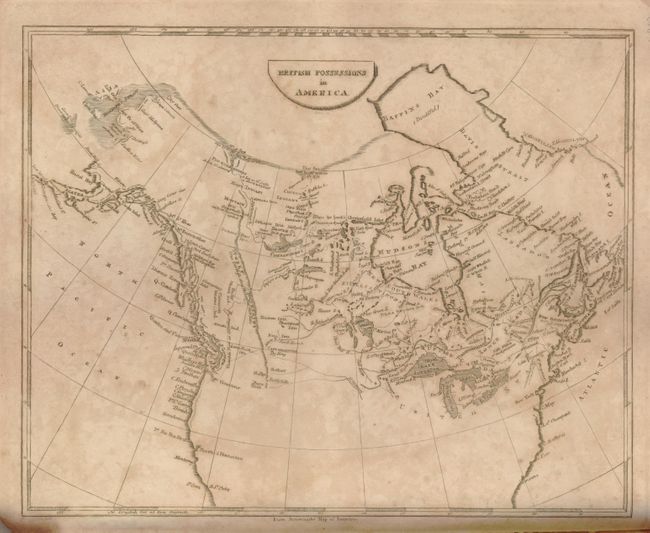
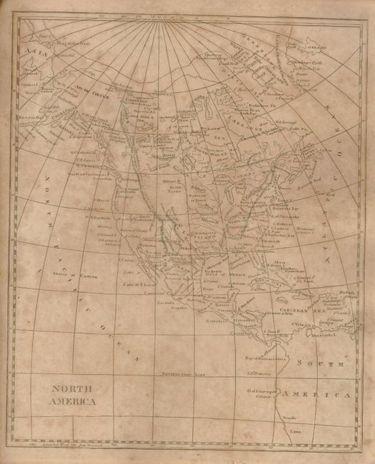
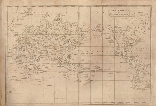
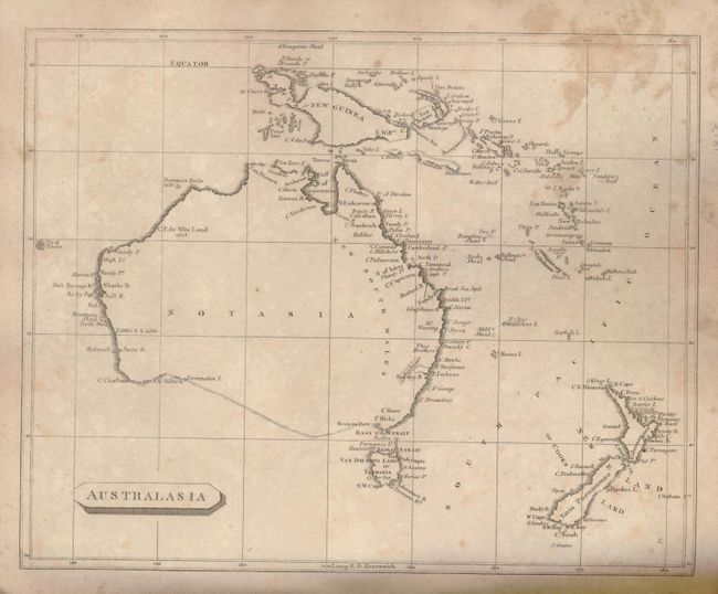
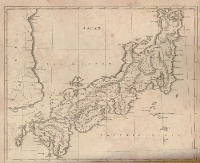
This important little American atlas is complete with 63 uncolored, copper-engraved maps of the world, continents and countries, and U.S. states and regions; 56 that are from the 1804 edition, plus seven additional maps. Of particular interest is Louisiana, which is highlighted by the "Mtns de la Roche or Stoney Mtns." Paul Cohen describes this map in Mapping the West, that, although as equally inaccurate as the Soulard version, "[the Samuel Lewis map] ... was the primary map of the newly purchased territory of Louisiana and its surroundings and, as such, reflected and shaped American popular geographical images of the western interior at the time of Lewis and Clark." Other American maps of note are early Tennessee, Ohio, Mississippi Territory, British Possession in America, and Spanish Dominion in North America. The map of Australia shows an incomplete southern coastline, but a completely insular Tasmania. 4to, hardbound in original paper over boards and quarter leather spine.
References: Cohen, p. 80; Phillips (A) #718; Wheat (TMW) 259, 260, 261 & 262.
Condition: B
Maps are toned, with scattered foxing and some stains. Double Hemisphere map has a 3" tear. Boards are scuffed and worn with some loss at corners. Spine and hinges are worn with loss at the upper extremity that affects the map margins and 2 South American maps into border. Front endpaper is loosening, otherwise, the atlas is sound.