Catalog Archive
Auction 119, Lot 688

"Morea olim Peloponnesus", Mercator/Hondius
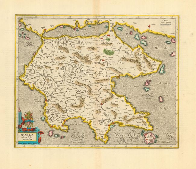
Subject: Greece

Period: 1628 (circa)

Publication: Atlas sive Cosmographia

Color: Hand Color

Size:
16.3 x 13 inches
41.4 x 33 cm
Download High Resolution Image
(or just click on image to launch the Zoom viewer)

A beautiful and decorative map of the Peloponnesos peninsula in southern Greece. This region was called Morea well into the 19th century. The narrow isthmus that separates the mainland from the peninsula on this map is now bisected by the Corinth Canal, built in 1893, effectively turning the Peloponnesos peninsula into an island. The map is adorned with a decorative strapwork and floral cartouche. French text on verso.

References:

Condition: A

Lovely impression and original color with generous, original margins. Very faint centerfold toning, mostly confined to margins.

Estimate: $250 - $350

Sold for: $180

Closed on 5/9/2007

Archived