Catalog Archive
Auction 119, Lot 675

"Totius Regni Hungariae, Maximaeque Partis Danubii Fluminis…", Visscher, Nicolas

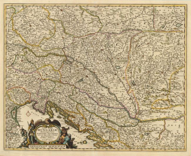
Subject: Southeastern Europe

Period: 1680 (circa)

Publication:

Color: Hand Color

Size:
21.3 x 17 inches
54.1 x 43.2 cm
Download High Resolution Image
(or just click on image to launch the Zoom viewer)

This is a very detailed and finely engraved map covering from Bohemia through southern Poland and extending south to include Austria, northeastern Italy and the northern Balkans. The map focuses on the Danube River and the fortification throughout the region. The figurative cartouche represents the Habsburg monarchy's domination of the Turcs.

References:

Condition: B

Nice impression printed on sturdy paper. There is a 1" repaired tear left of the centerfold at top.

Estimate: $400 - $475

Sold for: $375

Closed on 5/9/2007

Archived