Catalog Archive
Auction 119, Lot 514

"Flandriae Pars Occidentalis continens", Hondius, Henricus

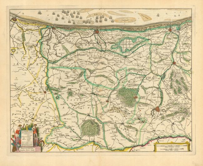
Subject: Low Countries

Period: 1630 (circa)

Publication:

Color: Hand Color

Size:
19 x 15 inches
48.3 x 38.1 cm
Download High Resolution Image
(or just click on image to launch the Zoom viewer)

Copper engraved map of the coastline from Calais to Dunkirk to Nieuwpoort and inland to Armentiers. The map is fully engraved to show forests, roads and canals, and hundreds of tiny villages. Figures, farm implements and weaponry surround the title cartouche and the sea is filled with a large fleet of sailing ships. English text on verso.

References:

Condition: A

Fine impression and original color. Margins slightly trimmed but still very ample.

Estimate: $250 - $300

Sold for: $170

Closed on 5/9/2007

Archived