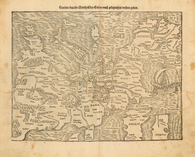
Subject: Europe
Period: 1578 (circa)
Publication: Cosmographie
Color: Black & White
Size:
13.5 x 10 inches
34.3 x 25.4 cm
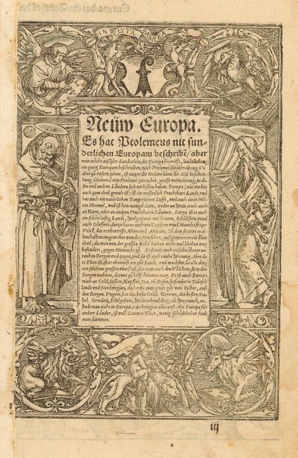
This is one of the earliest obtainable maps of the European continent. It's unusual orientation, with north at the bottom of the sheet and the Mediterranean Sea at top, also makes it one of the most interesting maps of Europe. Mountains, forests, rivers and towns fill the land and in the Atlantic Ocean there is a large sailing ship. Sebastian Munster was the first to make individual maps of each continent, and this map is from that series. The map was issued in both Munster's Geographia and Cosmographia. The verso has German text and is illustrated with an exquisite figural engraving generally attributed to Hans Holbein.
References: Potter, p. 98
Condition: B
Scattered damp stains that could be easily cleaned. The paper is sound.