Catalog Archive
Auction 119, Lot 401

"Partie de la Mer du Nord, ou se trouvent les Grandes et Petites Isles Antilles et Les Isles Lucayes", Robert de Vaugondy
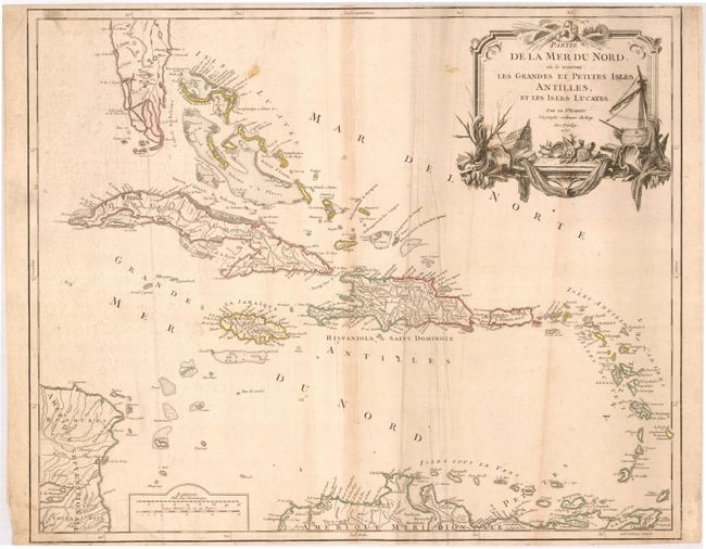
Subject: Caribbean

Period: 1750 (dated)

Publication: Atlas Universal

Color: Hand Color

Size:
23 x 19 inches
58.4 x 48.3 cm
Download High Resolution Image
(or just click on image to launch the Zoom viewer)

Handsome and detailed map of the Caribbean extending from southern Florida and the Bahamas to the Lesser Antilles and the northern coast of South America. The large decorative title cartouche features a ship, fishing nets, shells and a trio of wind-heads. This is the second state with cardinal points engraved between the neatline and the border.

References: Pedley #476.

Condition: B

Nice impression with original outline color. The map is trimmed close to the neatlines at the top and bottom margins. There is some light surface soiling and a few extraneous creases.

Estimate: $500 - $600

Sold for: $325

Closed on 5/9/2007

Archived