Catalog Archive
Auction 119, Lot 357

"The State of Virginia from the Best Authorities", Payne, John
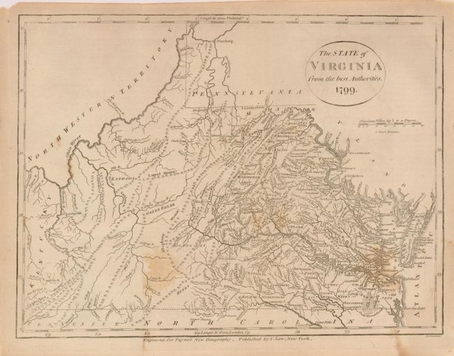
Subject: Virginia

Period: 1799 (dated)

Publication: Payne's New and Complete Universal Geography

Color: Black & White

Size:
10 x 7.5 inches
25.4 x 19.1 cm
Download High Resolution Image
(or just click on image to launch the Zoom viewer)

Early map of the state that is finely engraved and crammed with detail. It extends to show surrounding states and territories. The map shows fine detail of watershed, many towns and villages, wagon roads and trails, counties, courthouses, and more. The Northwest Territory lies just across the Ohio River border. The map was derived from John Reid's map for the American Atlas, which in turn was taken from Carey's 1794 folio map.

References: Wheat & Brun 574.

Condition: B

Printed on thin hand-laid paper with two short marginal splits at folds, closed on verso. Water stain at lower left and a foxing spot at left.

Estimate: $180 - $220

Sold for: $350

Closed on 5/9/2007

Archived