Catalog Archive
Auction 119, Lot 199

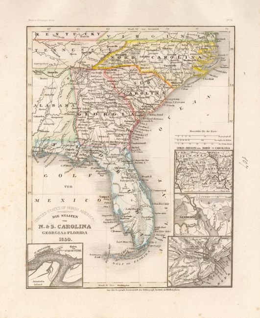
"Die Staaten von N. & S. Carolina Georgia & Florida", Meyer, Joseph
Subject: United States - Southeast

Period: 1850 (circa)

Publication: Geographisches Institut

Color: Hand Color

Size:
8 x 10 inches
20.3 x 25.4 cm
Download High Resolution Image
(or just click on image to launch the Zoom viewer)

A very detailed map of the southeastern United States showing roads, towns, railroads and rivers. There are four insets included on this delicately colored example. The first; Hafen von St. Augustine shows Anastasia Island, St. Augustine and the location of Fort St. Marks. The other insets include Charleston, Newberne and the gold region of North Carolina.

References:

Condition: B

Original coloring and strong impression printed on thick paper with wide margins. Scattered foxing, mostly in margins. Ink notation in blank right margin.

Estimate: $100 - $150

Sold for: $75

Closed on 5/9/2007

Archived