Catalog Archive
Auction 119, Lot 177

"[A Map of the Most Inhabited Part of New England]", Jefferys, Thomas

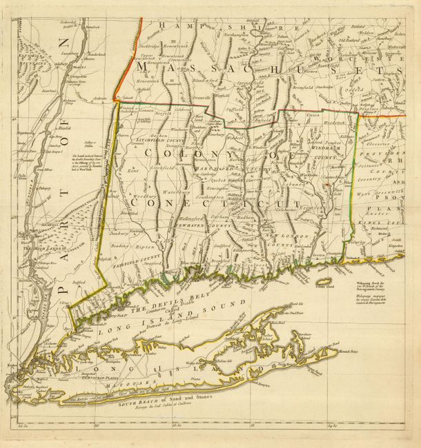
Subject: Colonial New England

Period: 1777 (circa)

Publication:

Color: Hand Color

Size:
19 x 20 inches
48.3 x 50.8 cm
Download High Resolution Image
(or just click on image to launch the Zoom viewer)

This is one sheet of Jefferys' important four-sheet map of New England and New York. This lower left sheet shows all of Long Island and from the Hudson River through the Colony of Connecticut, to the western part of Rhode Island. It extends to include the southwestern part of Massachusetts. This map was one of the most influential maps of this area published during the eighteenth century. It provides an excellent source of early place names and locates numerous land grants, towns, roads, trails, portages, forts, farms and topography.

References:

Condition: A

Estimate: $1,000 - $1,200

Sold for: $750

Closed on 5/9/2007

Archived