Catalog Archive
Auction 119, Lot 172

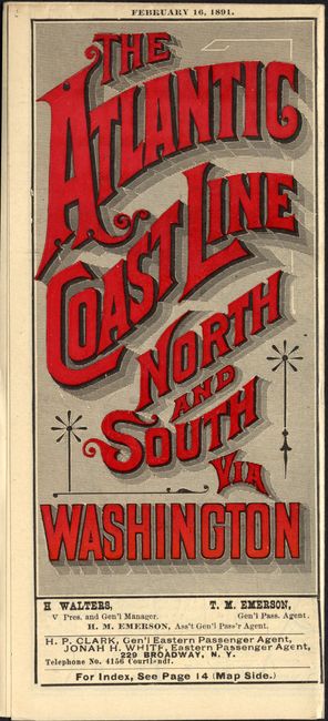
"Map of the Atlantic Coast Line of Railways & Connections", Railroad Companies, (Various)

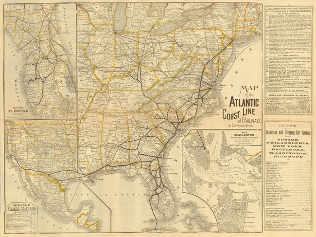
Subject: United States - Eastern

Period: 1891 (dated)

Publication:

Color: Printed Color

Size:
17.3 x 15.5 inches
43.9 x 39.4 cm
Download High Resolution Image
(or just click on image to launch the Zoom viewer)

Interesting railroad map with a number of maps on one sheet. The main map shows the eastern part of the United States, and the western portion of the U.S. has been shrunk to fit below a large inset of Florida. A fine map of Charleston Harbor and Vicinity is inset to the right. Map folds into red printed wrappers (3.7 x 8.2") with timetables for all the routes. It is titled on the front, "The Atlantic Coast Line North and South Via Washington." The stamp of the Passenger Agent, Waldo A. Pearce, is on the back of the folded map.

References:

Condition: A+

Estimate: $200 - $250

Sold for: $350

Closed on 5/9/2007

Archived