Catalog Archive
Auction 119, Lot 171

"Colton's United States shewing the Military Stations Forts &c.", Colton, Joseph Hutchins

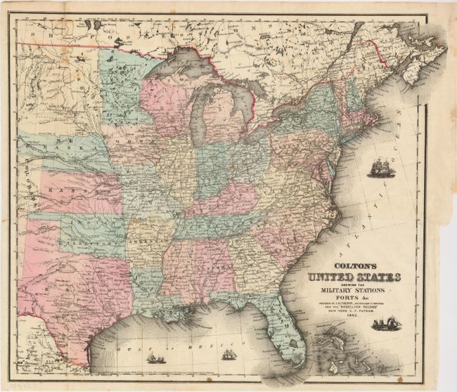
Subject: United States - Eastern, Central

Period: 1861 (dated)

Publication: Victor's History of the Southern Rebellion

Color: Hand Color

Size:
16 x 15 inches
40.6 x 38.1 cm
Download High Resolution Image
(or just click on image to launch the Zoom viewer)

Unusual, folding Civil War period map of the United States that extends to about the 103rd meridian to include Dakota and most of Texas. The map has great detail with the Pony Express Route, railroads, U.S. Mail routes and other important roads together with hundreds of forts. Four tiny ships sailing in the Atlantic and Gulf of Mexico symbolize the Union blockade of the Confederacy.

References:

Condition: B

Printed on fine banknote paper with original color. Issued flat, now pressed. Couple of minor spots and a 3" binding tear repaired with archival tape.

Estimate: $300 - $350

Sold for: $275

Closed on 5/9/2007

Archived