Subject: Western Hemisphere
Period: 1845-1861 (circa)
Publication:
Color: Hand Color
Lot of three maps, each with an early depiction of Texas. Lot includes:
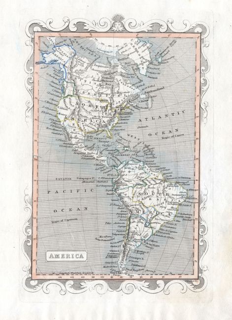
1. America, anon., circa 1845, 5.5" x 8.7". Decorative border and original hand coloring in outline.
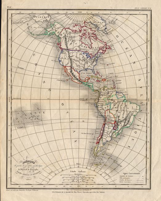
2. Amerique pour la petite Geographie methodique et le Manuel de Geographie de M.M. Achille Meissas et Michelot, Achille Meissas, 1861, Paris, 8.3" x 10.3". Fine original outline hand coloring uses a wide pallet of colors. A handsome chart with fancy titling and four distance scales.
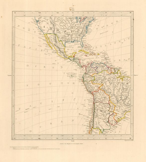
3. Untitled [Americas], SDUK Society for the Diffusion of Useful Knowledge, circa 1845, London, 10.2" x 10.8". The largest map in the lot distinctly shows Texas at its largest extent, just after statehood with its northern extent to above 40° with the long stovepipe configuration that includes Taos and Santa Fe. The map shows only that portion of the Western Hemisphere between 45° north and south latitude. Original hand coloring in outline.
References:
Condition:
The second map has a little offsetting otherwise very good. The other two are very good. Small ink spots in upper margin of third map. All with full margins.