Subject: Western Hemisphere
Period: 1814 (circa)
Publication: New General Atlas
Color: Hand Color
Size:
23.5 x 19.5 inches
59.7 x 49.5 cm
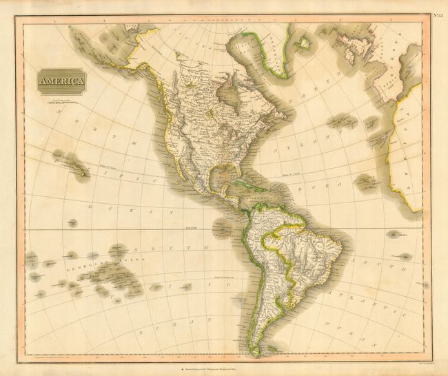
In Thomson's style, this well engraved map shows the latest discoveries including those of Mackenzie, Hearne, and Lewis & Clark. It is a detailed copper engraved map that includes numerous place names, watershed and topography. Names Indian tribes including the Snake, Blackfoot, Chipaways, and many more. The map extends to include the coasts of Europe and West Africa, and it presents good detail of islands in the eastern portion of the South Pacific. The United States is shown north of East and West Florida, and east of the Mississippi River. The land west of the Mississippi is called Louisiana. The Rocky Mountains meander across the continent from northern Canada to Panama. Hawaii is here called the Sandwich Islands.
References: Phillips (A) 731-52.
Condition: B
Crisp, dark impression on thick paper with wide margins and original coloring. A hint of toning in blank areas. Some tape residue on verso at edge of paper.